‘And when you’re well enough to go out for a ride …what larks!’
Mudlark memories – the river Mersey at Speke – part 1
It’s been a fantastic and unexpected life journey since I first discovered intertidal archaeology on the Thames in 2010. In August 2018, I relocated to Liverpool for work, taking a break from the London lifestyle I could no longer afford, retreating in a 2-bedroom house big enough to store and display all my finds, going on new and exciting watery & muddy adventures in Merseyside, the Lake District, Lancashire and North Wales. I was still 2 hours away by fast train from London, so trips to the Thames foreshore were still secured and possible on a monthly basis.

I accidentally & completely fell in love with Liverpool in 2016, when I first visited the city to attend a gig from a talented local band. Liverpool had retained a somehow outdated beauty and poetry in the variety of buildings from all periods through history. The architecture was stunning, there were the old docks and derelict buildings that I enjoyed contemplating, perfect for the romantic and daydreamer in me, and a little rough around the edges. It felt like home, as I am originally from northern France, with the same roughness and a similar industrial past or architectural features. It must have been fate, because never in a million years, as a French expat, I would have thought that this is where I would spend some valuable and significant time.
Now back in London, with some ups and downs, in my darkest hours of national lockdown, far away from Merseyside, I caught myself smiling, remembering my local adventures. The Mersey kept me sane, it kept me alive and kicking, it kept me fit: how lucky I was to have it on my doorstep.
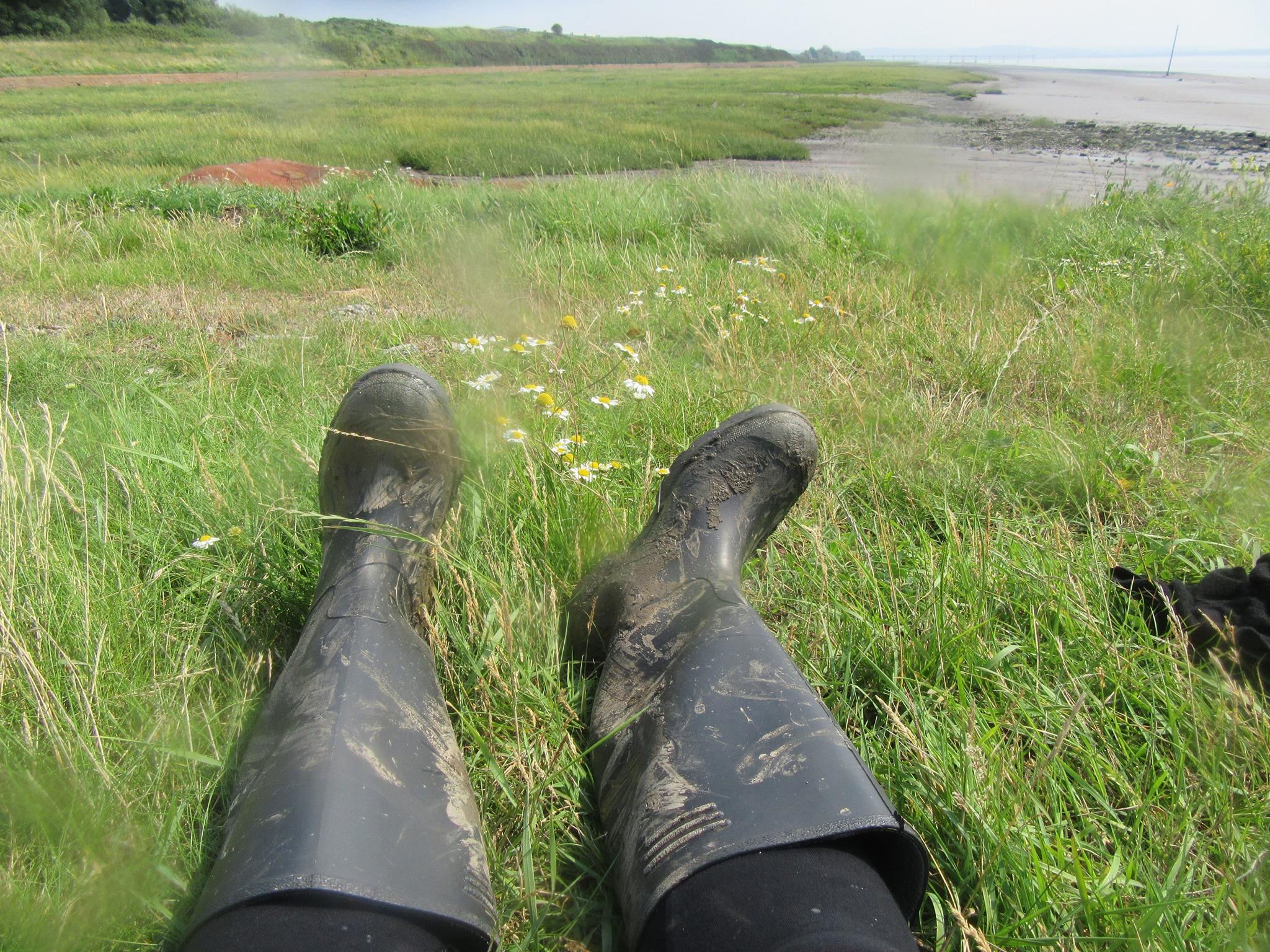
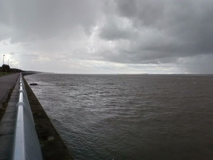
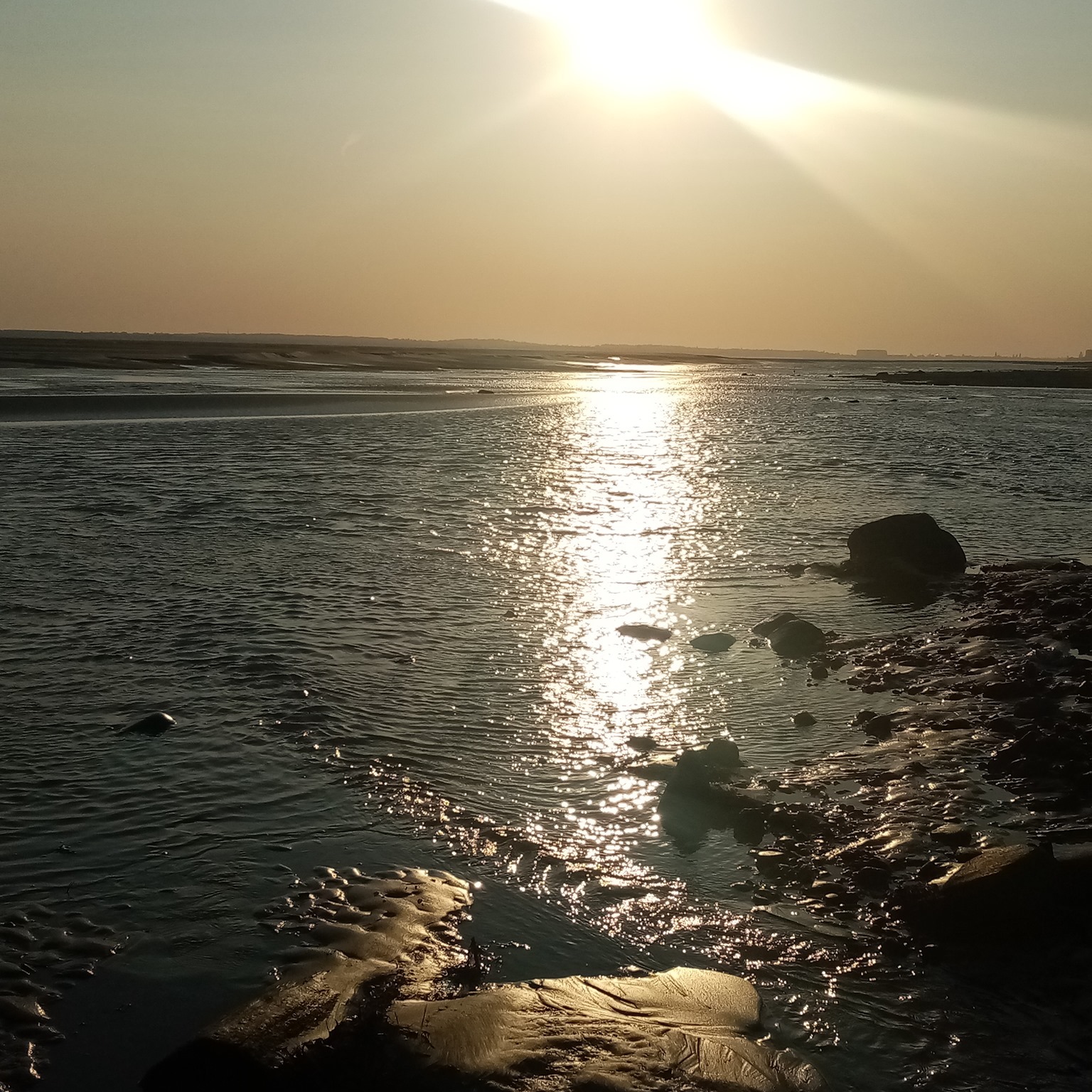
My first encounter with the Mersey was from the train from London to Liverpool, crossing it at Runcorn, and having my first walk around St Michael’s and Otterspool during a storm, and what a sight it was.
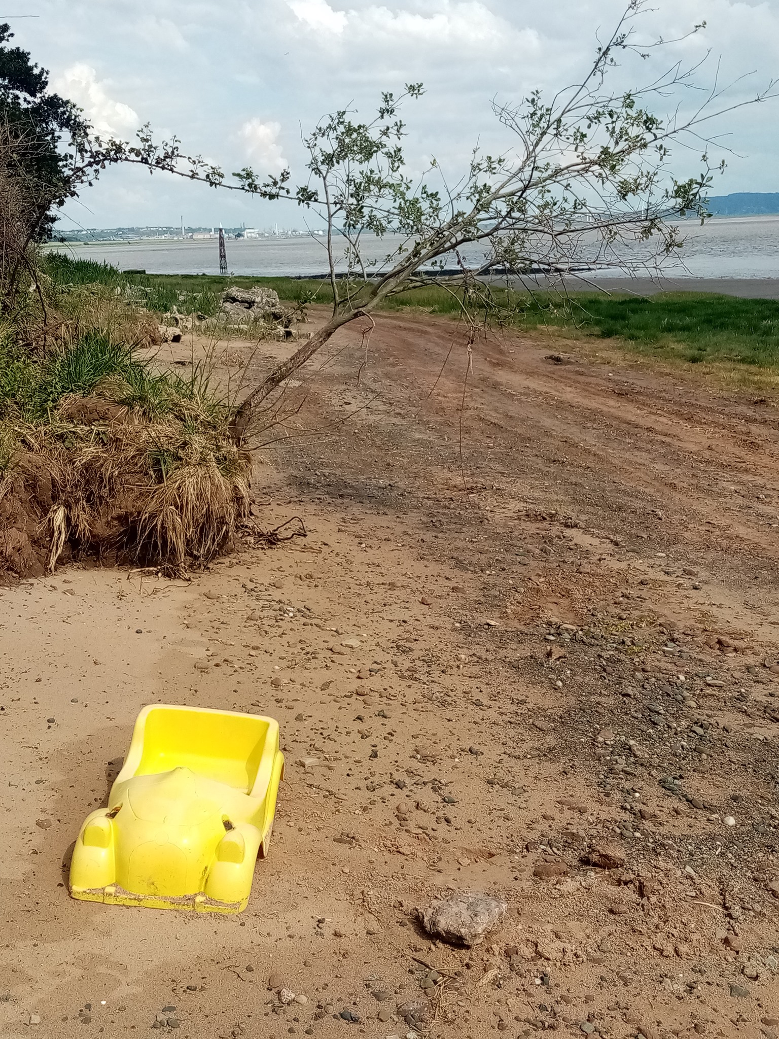
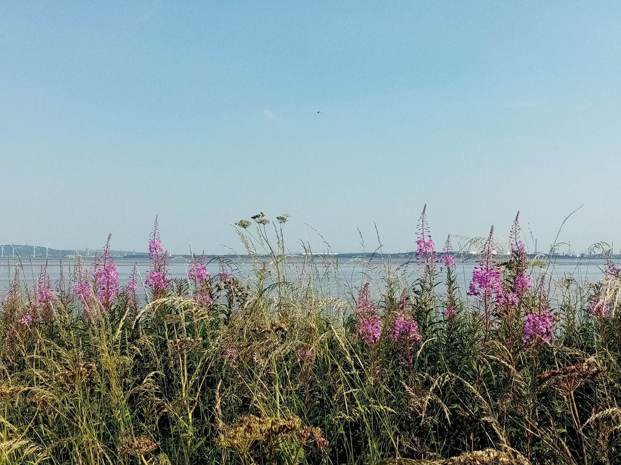
Soon enough my thirst for urban, coastal and river exploration took over, and I found out about the coastal reserve at Garston and Speke.
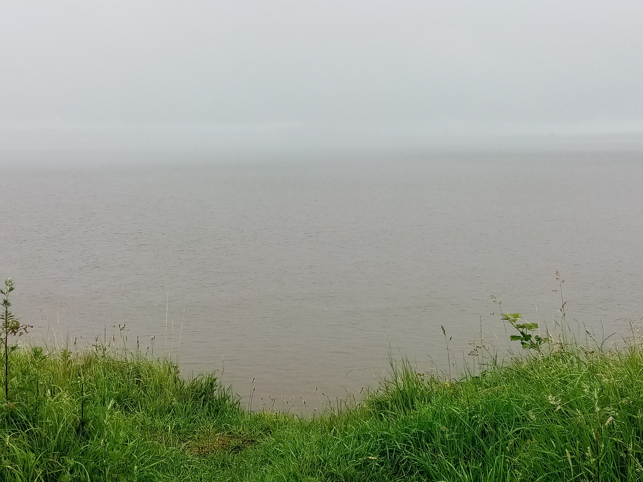
I knew little about the area or the Mersey estuary, other than the fact it was best known for ‘most polluted’ with microplastics in the UK, sadly often used as a fly-tipping ground, that it had a very distinct smell and colour I found unpleasant at first compared to my beloved Thames, that it was a dangerous intertidal environment and what I thought was a no-go for walking at low tide or mud larking.

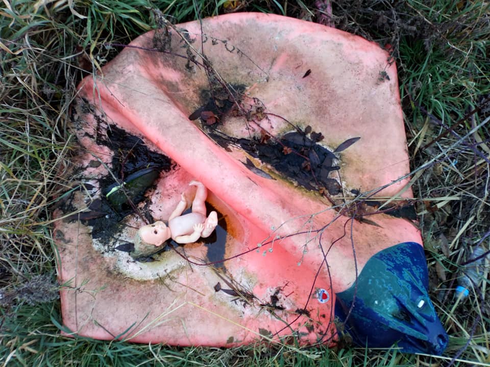


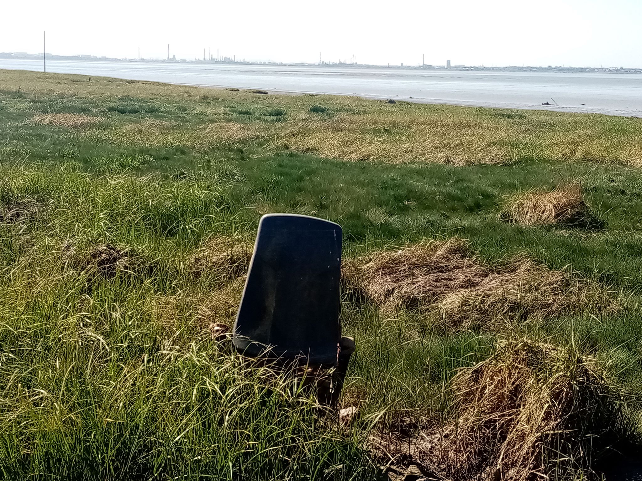
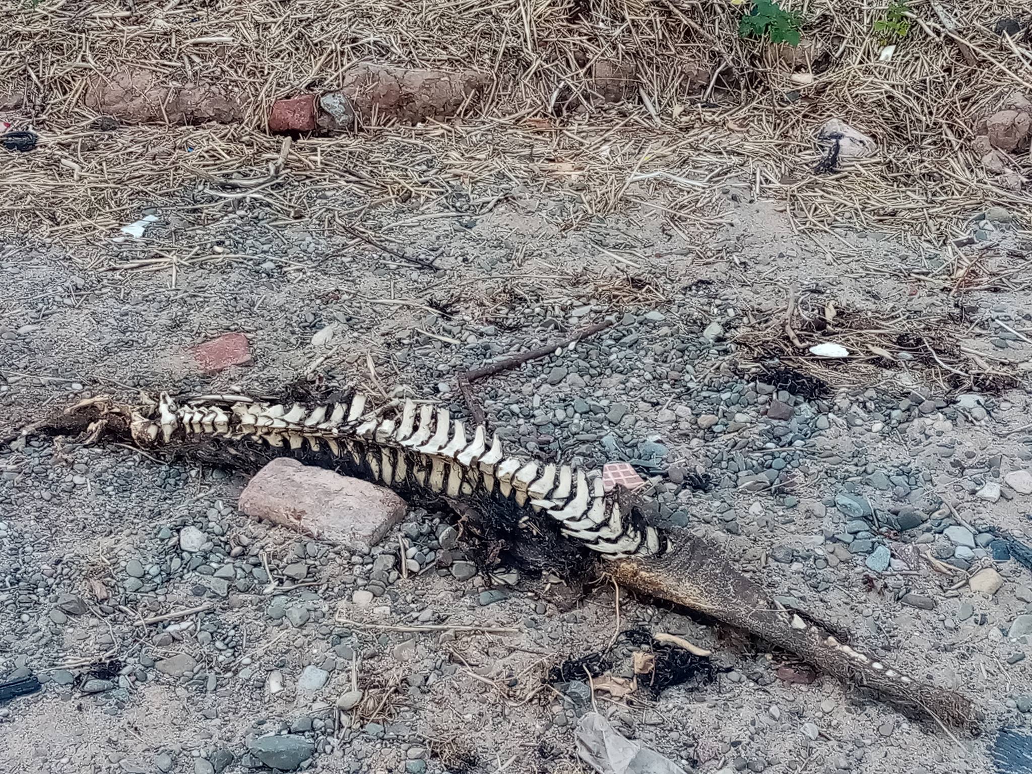
Some of the modern waste witnessed over the years during my walks
It would have been easy to misjudge the place just looking at the rubbish and dumped materials. I did not quite imagine it as an area of potential outstanding nature beauty and I was wrong on so many levels, and very far from the truth.
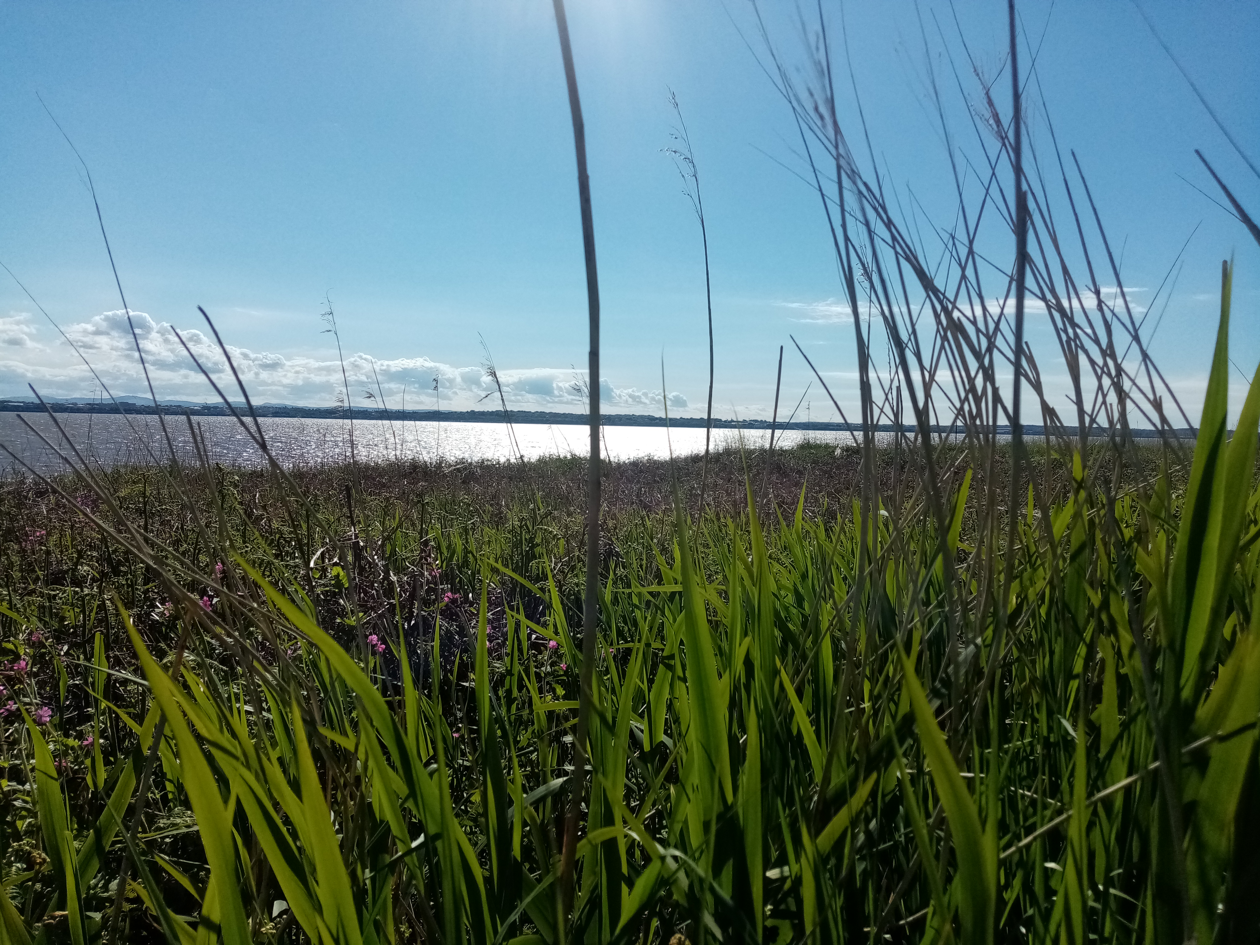
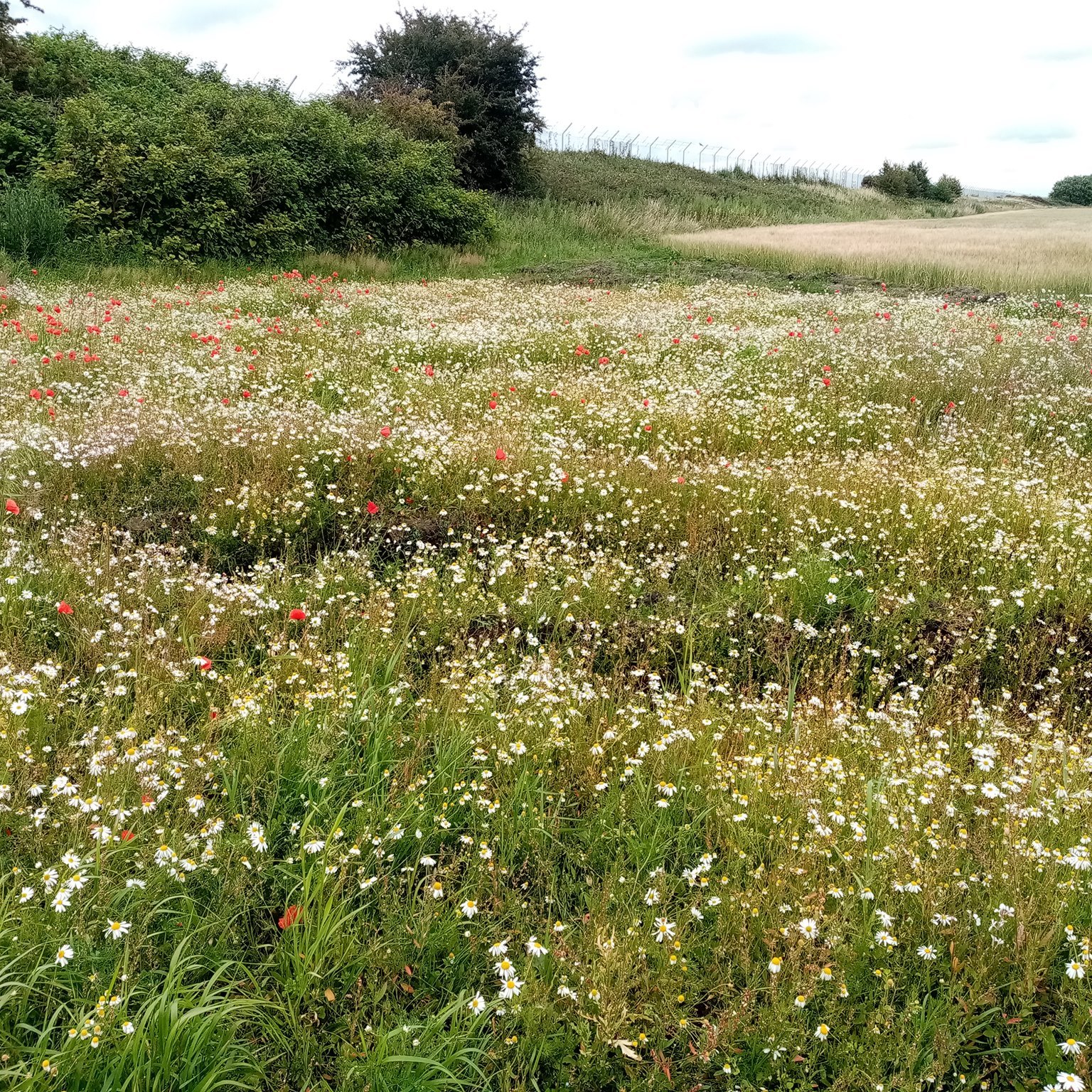
It is an area cherished by the locals, going on family walks or observing the flora & fauna, including a variety of bird species of the nature reserve through the seasons. The public interest has grown recently with the pandemic and lockdowns, while people rediscovered green spaces available on their doorstep.
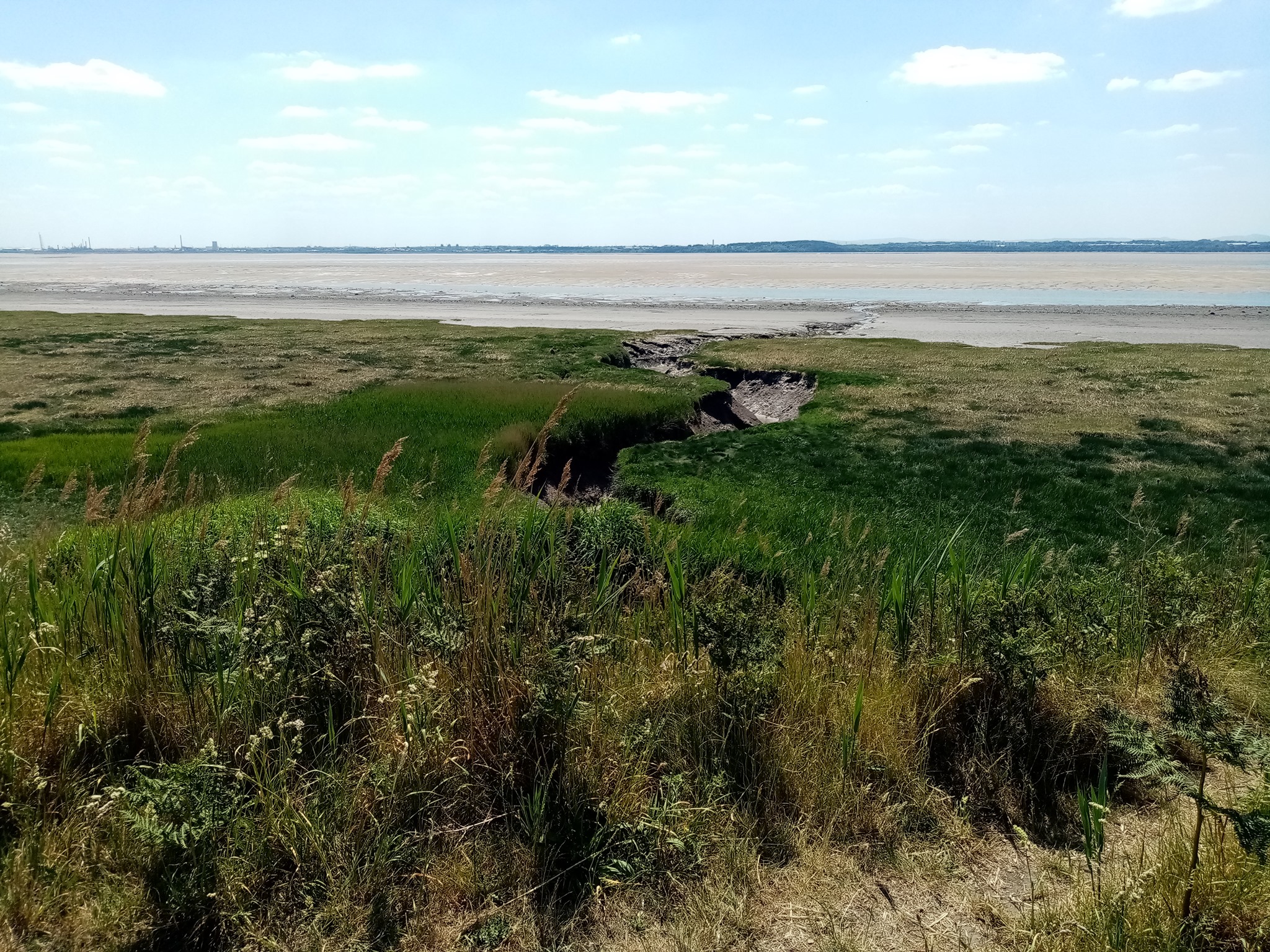


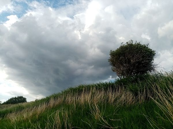
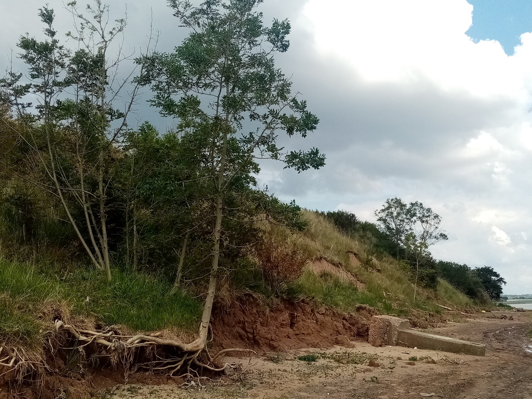
I’ve witnessed the coastal erosion over the last couple of years changing the landscape drastically. For every tree or landslide collapsing into the shore, there is some more household waste & rubble exposed to the foreshore. During my last visit in late 2020, there was a lot of modern finds that seem to date from the 60s & 70s.


My first visit in November 2018 –the ‘Dungeon works’ and Oglet shore:
the salt refinery remains, WW2 rubble, tree trunks and erosion.

I remember my first walk to the Mersey at Speke vividly, mostly because it was difficult to find my way to the location or access it directly with public transport from the centre (as a complete newcomer, without much guidance). It was a short taster walk, and I returned frequently the following years, using different paths, familiarising myself more with the surroundings.
I had heard about the hidden beach at Oglet thanks to an article in the Liverpool Echo newspapers, briefly mentioning the remains of a late 17th century rock salt refinery and the WW2 rubble, and the fact that the likes of young Paul McCartney would have used the shore as a local playground.
At the time, it was still accessible via Dungeon Lane, and a shorter walk from the main road than it is now. The area around the airport where I got off the bus felt a bit rough, with modern fly-tip on the way, I wasn’t sure if it was safe or what to expect.
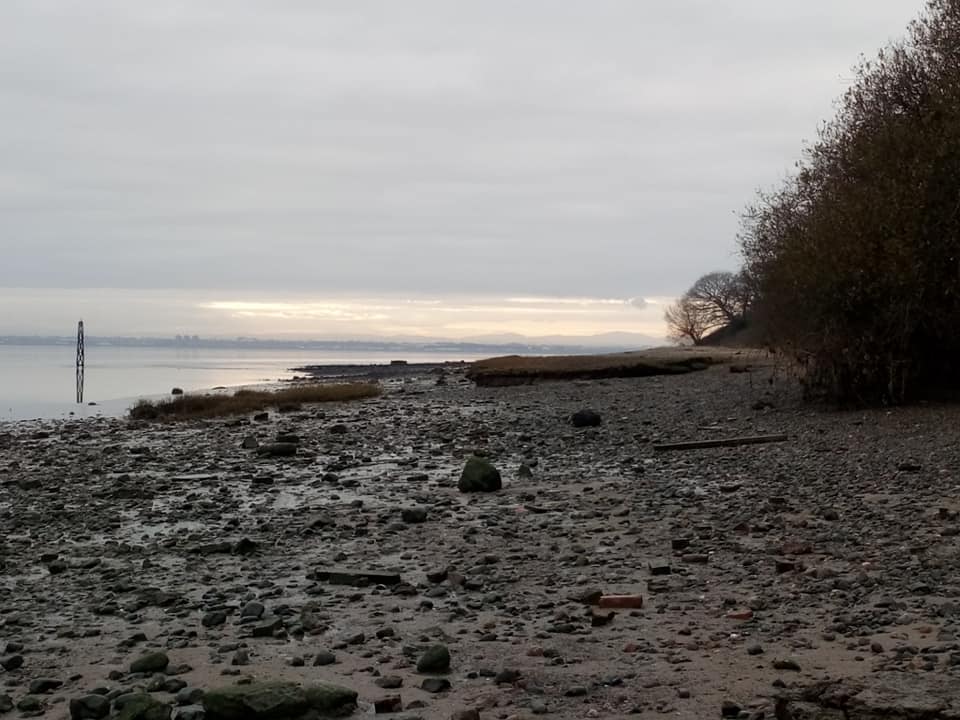
It was a quiet and desolated place on this day, and I was truly and completely alone. What stroke me most was the coastal erosion, the overload of dumped materials and potential archaeological remains. It was nothing like I expected.
On my way to the shore, I was amused to discover an entire community of plane watchers, sitting in their cars or standing by the fences, rushing to observe the planes landing or taking off, so close to us that the tarmac would literally shake.
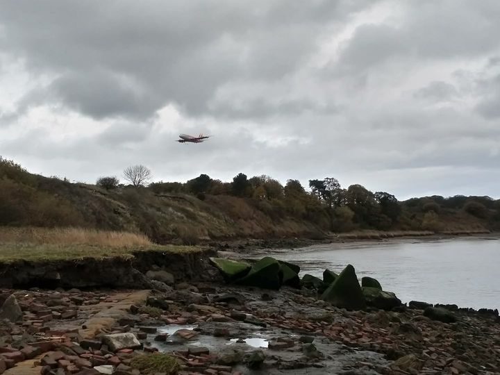
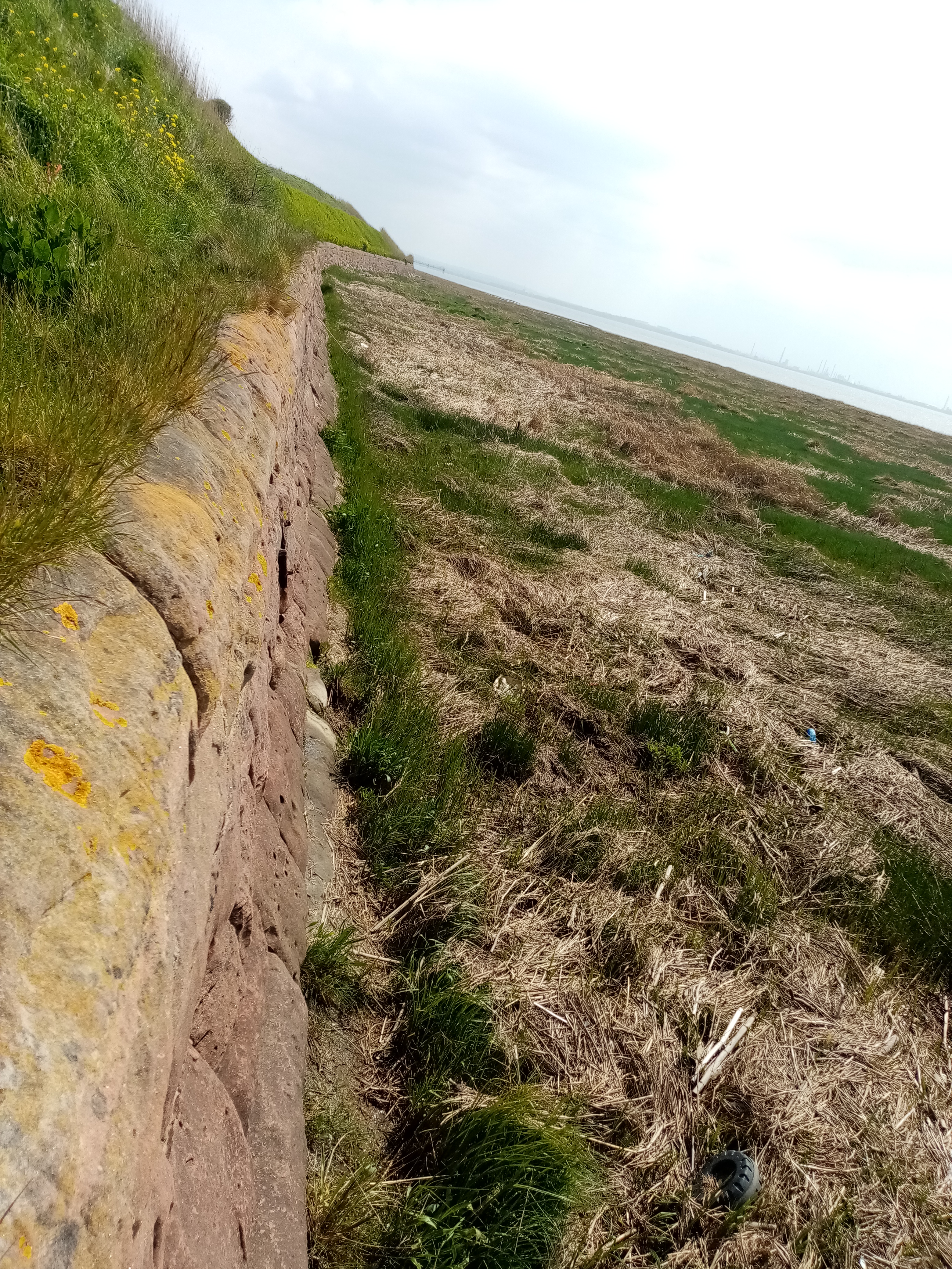
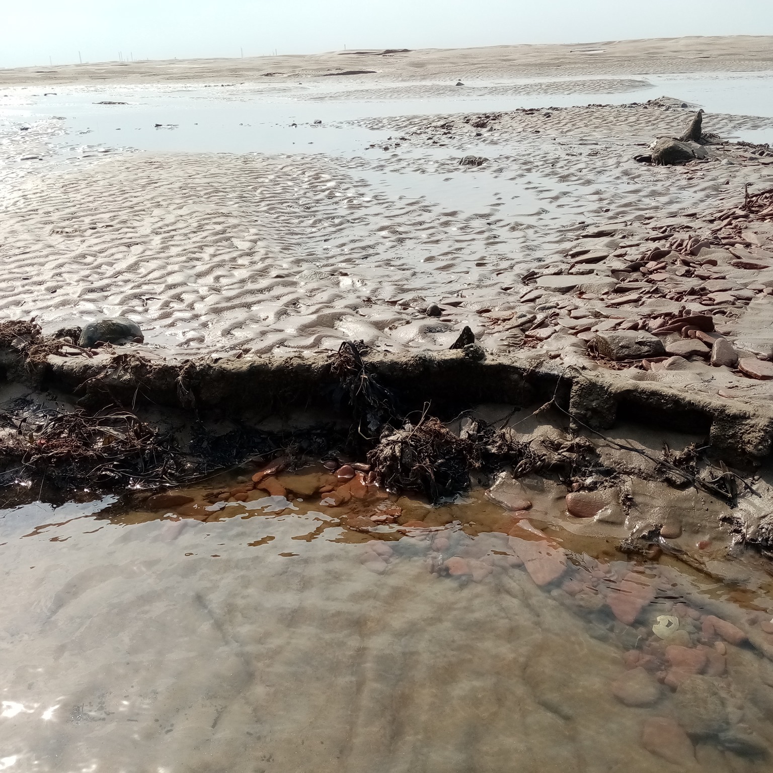
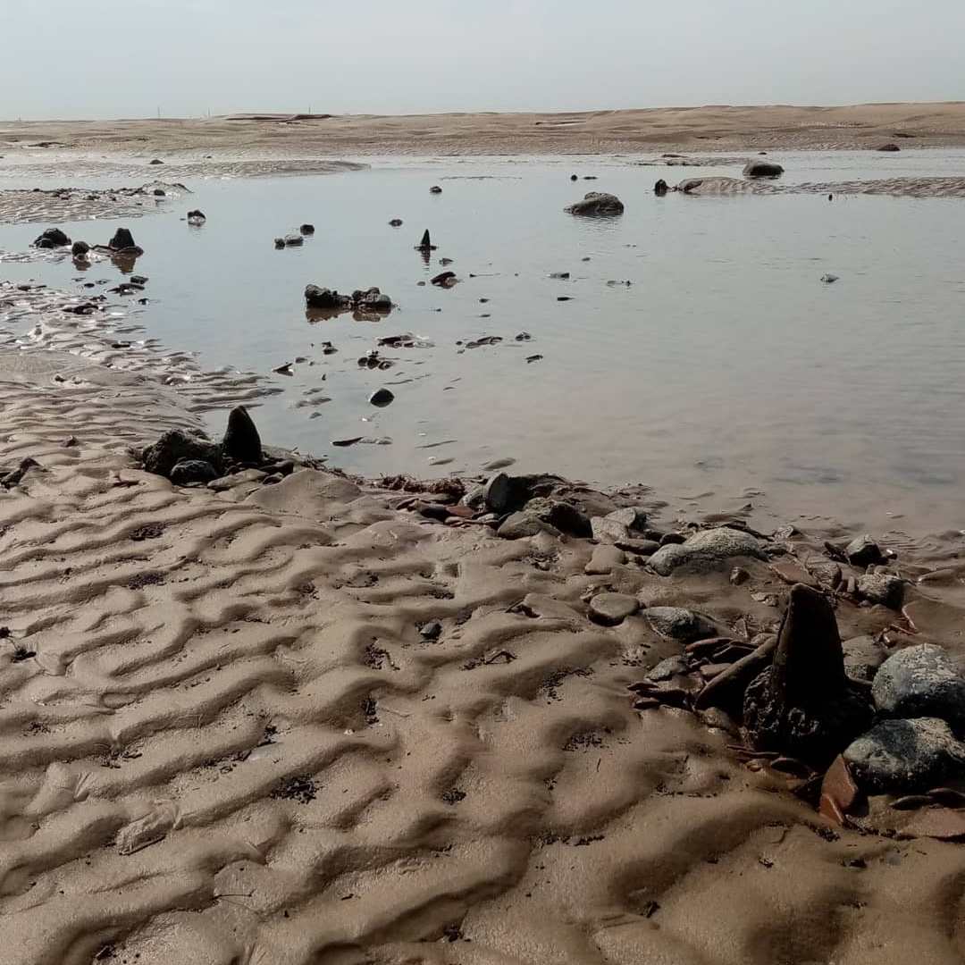
Not far from the main path, I contemplated at low tide a mysterious bay on the Mersey foreshore, with river walls made of sandstone blocks, some more masonry rubble, a possible quayside remains, and some strange pyramid shaped blocks.

My first archaeological feature spotted was the river walls. Also known as ‘the Dungeon Works’, these are the remains of a late 17th century rock salt refinery. In the early 1600s salt was an export product of the port of Liverpool, not just used for seasoning food but used as a preservative for precious perishables like meat or fish.

Nearby are some interesting worked timbers possibly from vessels, and big stone blocks revealed by erosion that look like a quayside. The pictures below date from 2018, but still present to this day, although often covered in mud and rubble.
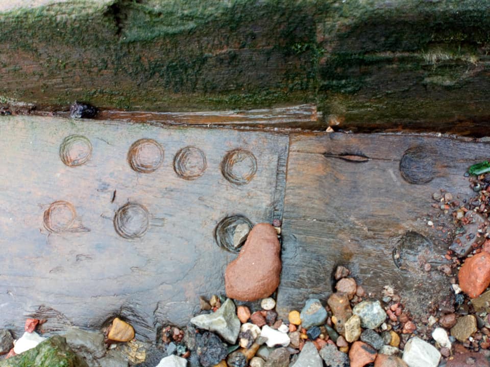


Gallery of photographs showing some of the big stone blocks by the end of Dungeon Lane, ressembling a quayside, and likely associated with the salt refinery activities, as witnessed in November 2018
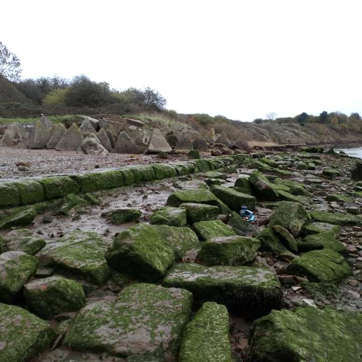
The second significant feature I spotted was ‘The Dragon’s Teeth’, these big square-pyramidal shaped reinforced concrete blocks, used as anti-tanks during WW2. Apparently, these were deposited on site post war in the 50s, with a lot of rubble and dumped material. Locals say that it used to be covered in mud for decades, but the recent coastal erosion has re-exposed the features. It is quite impressive. I had never seen this before.
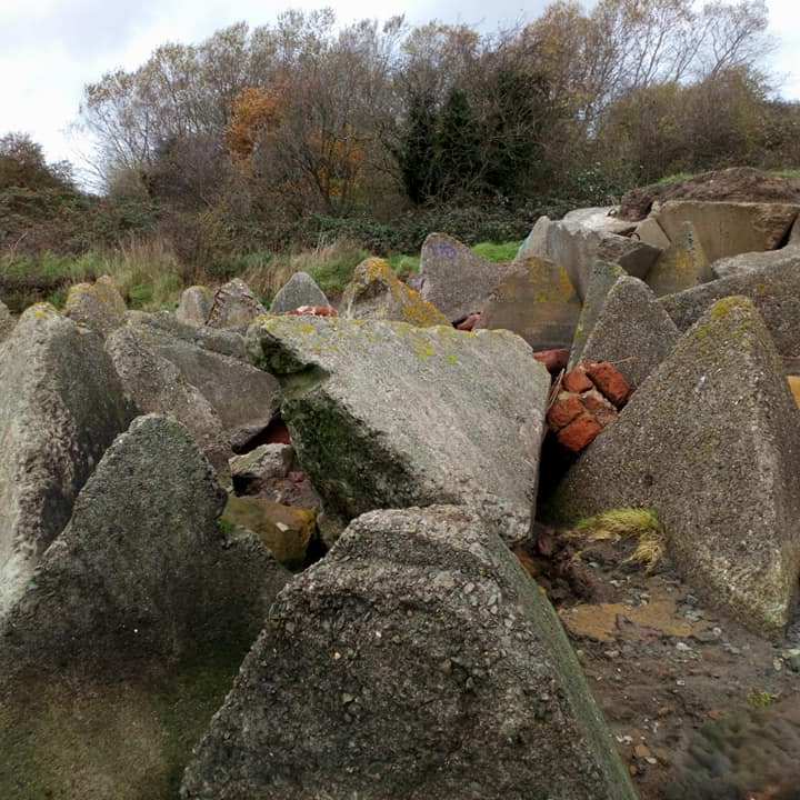


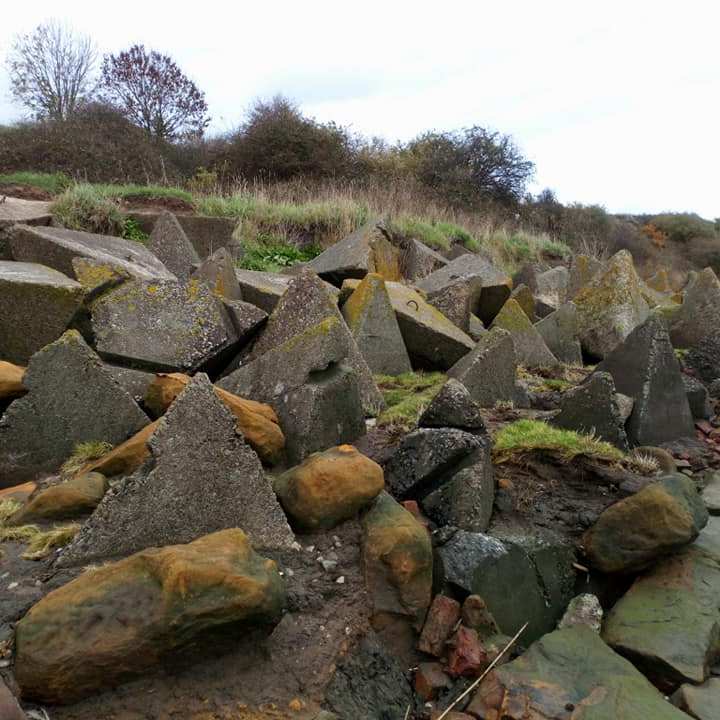
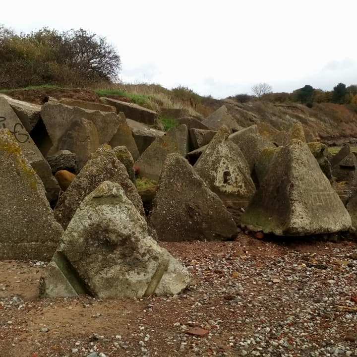
Gallery of photographs with the ‘Dragon teeth’ taken in November 2018
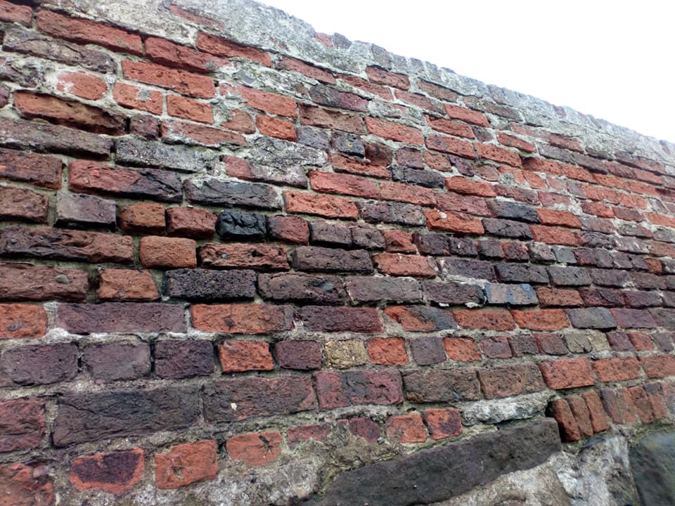
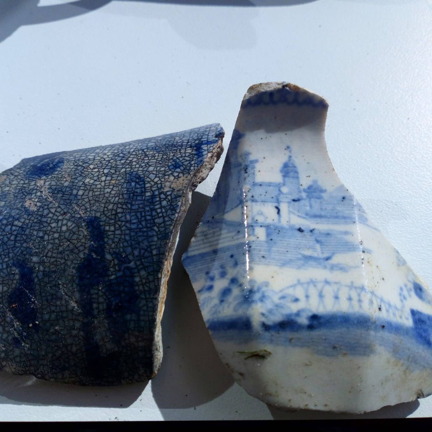
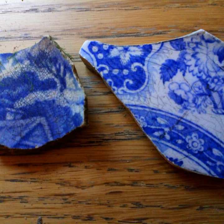
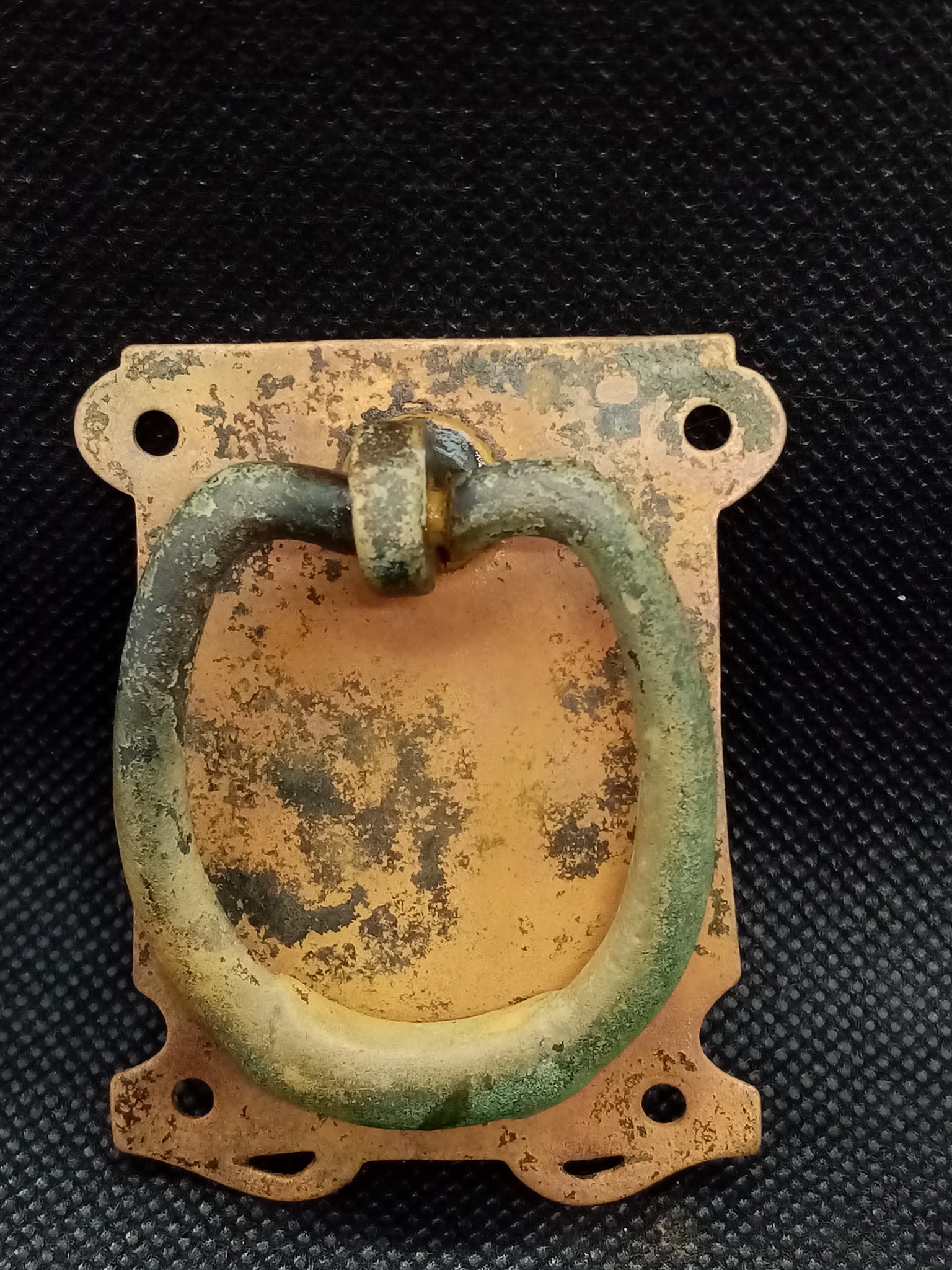
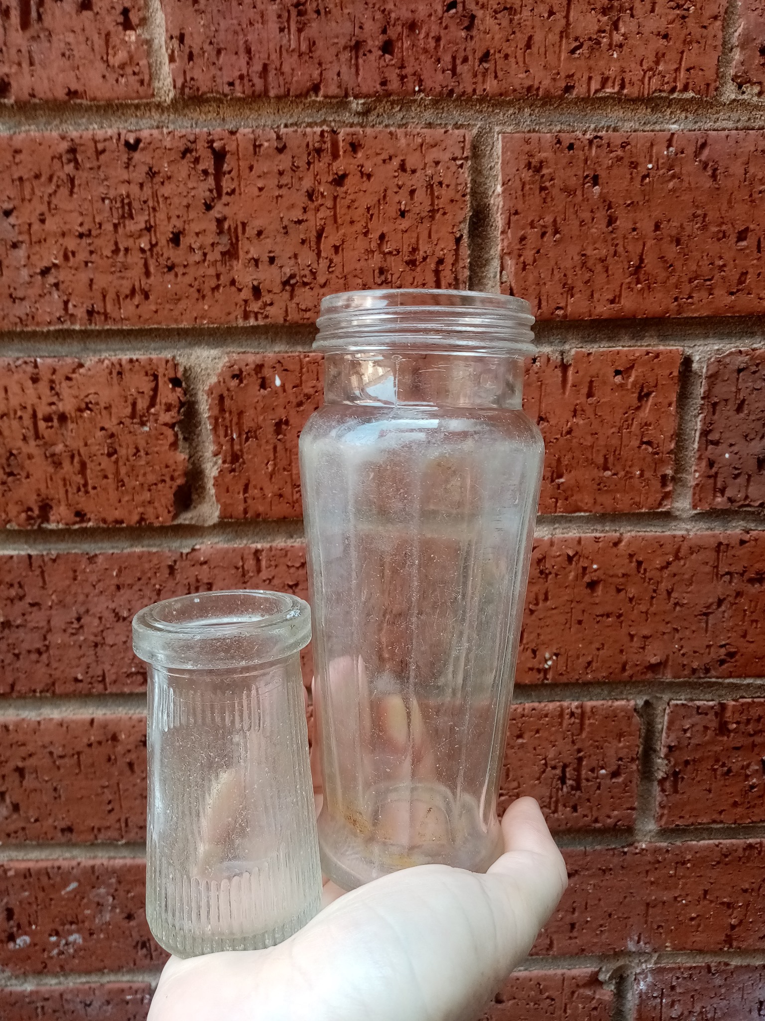
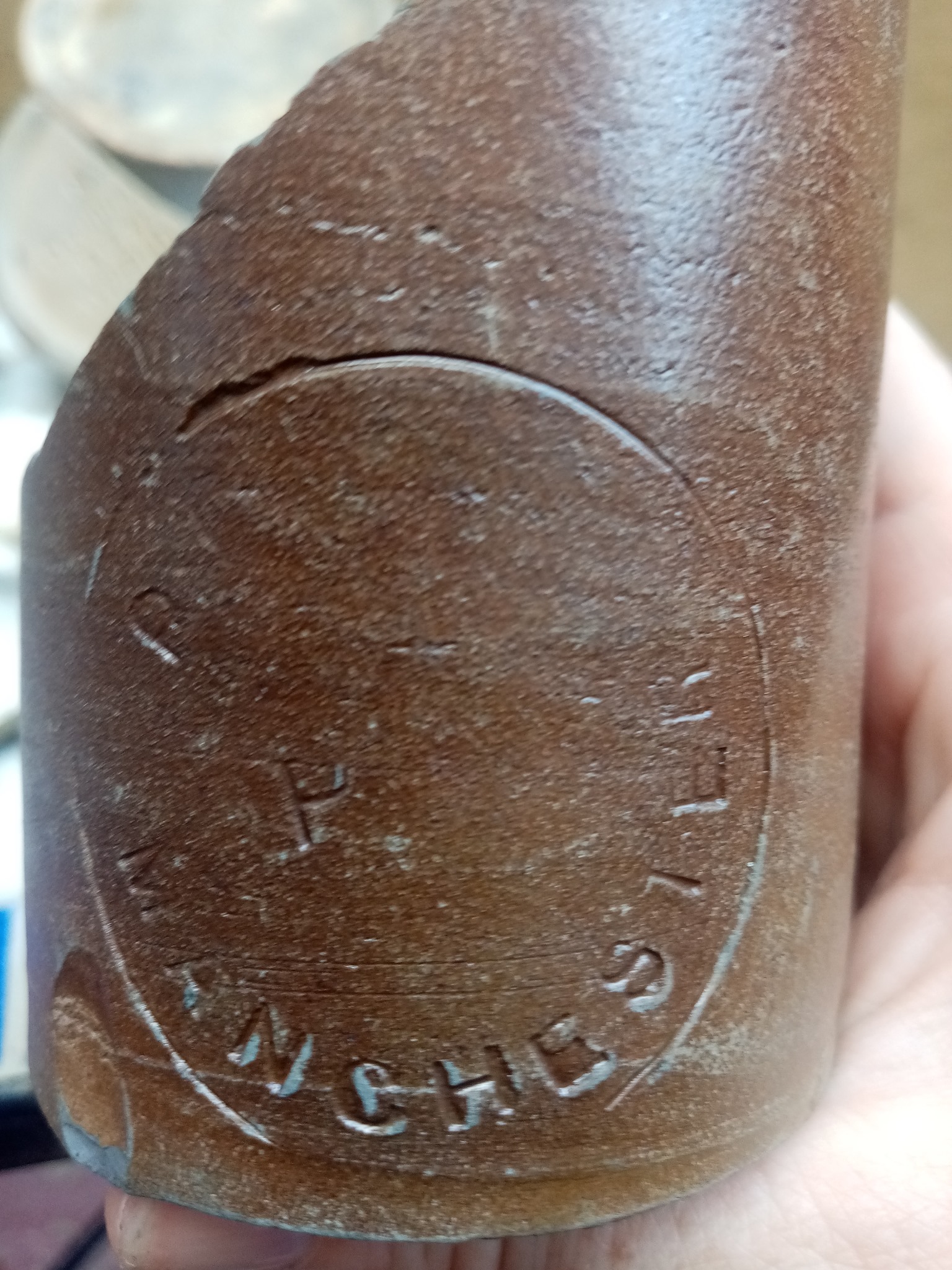
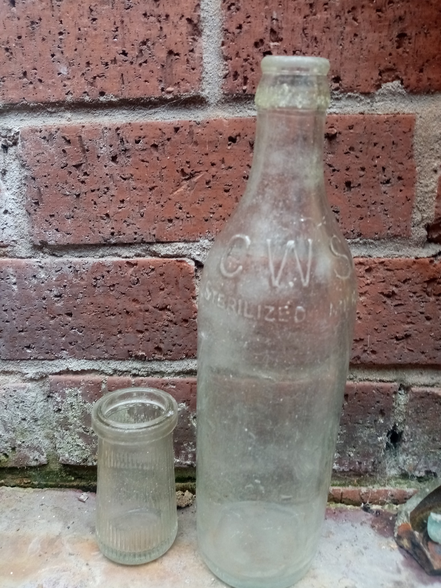
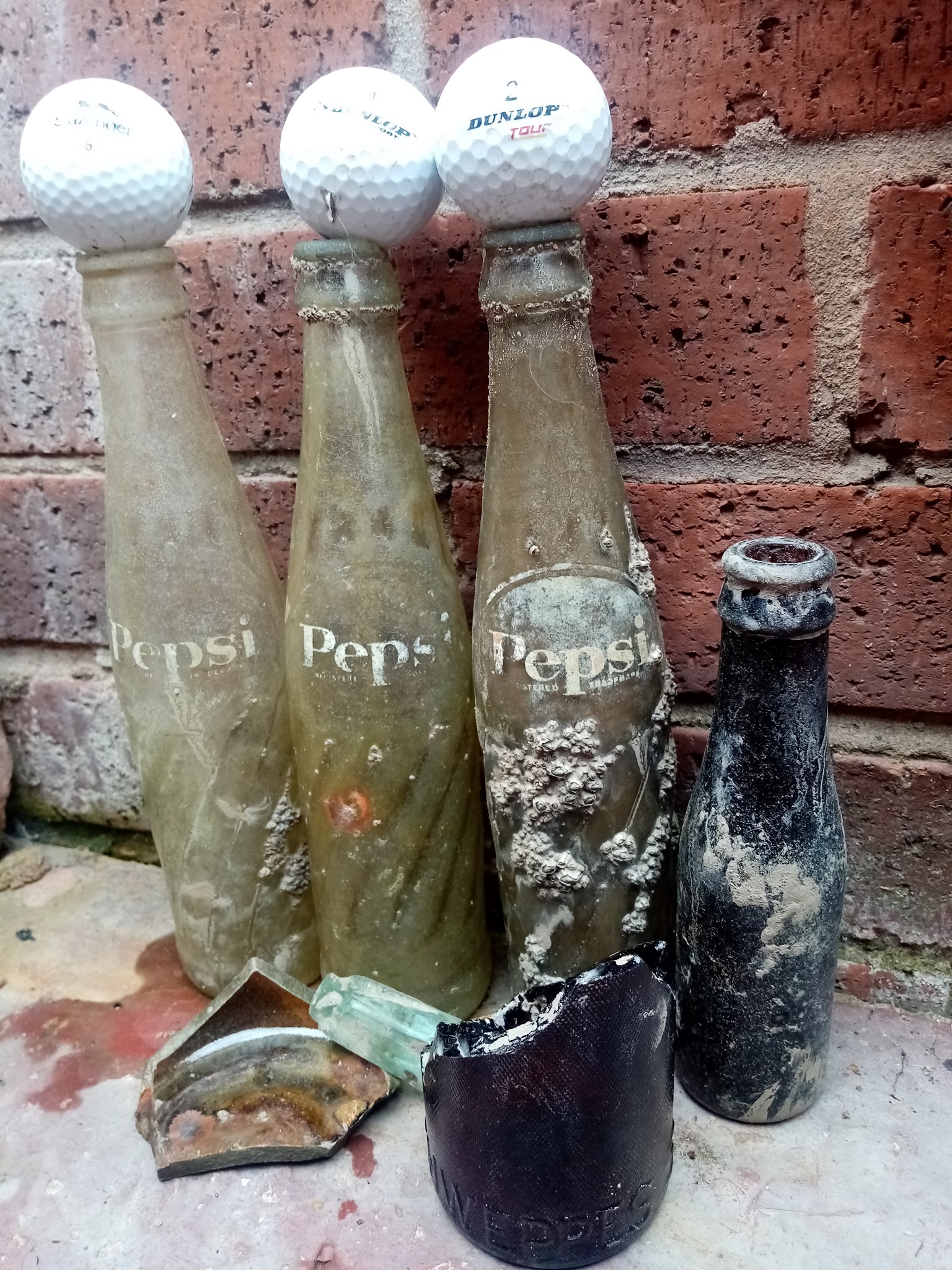
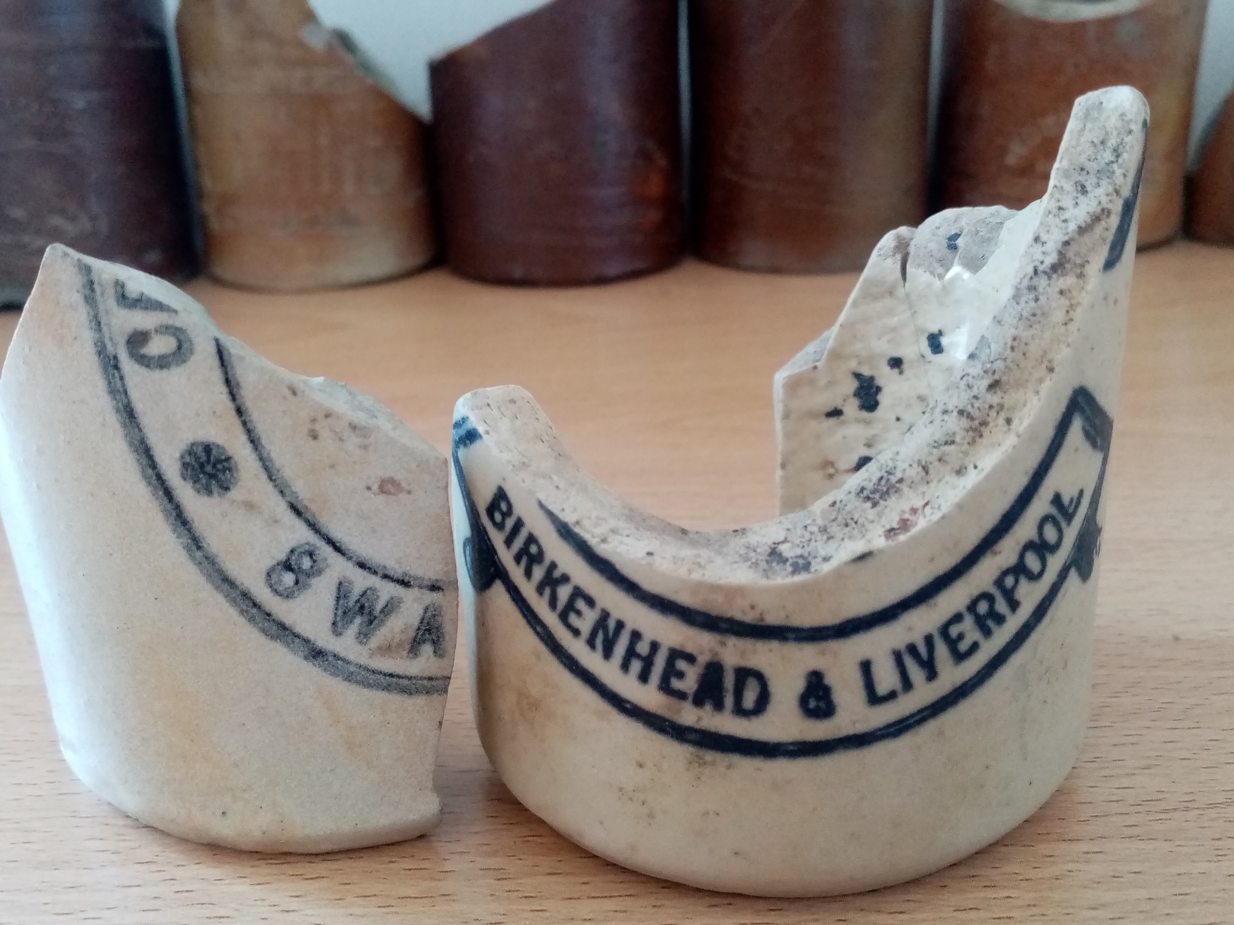
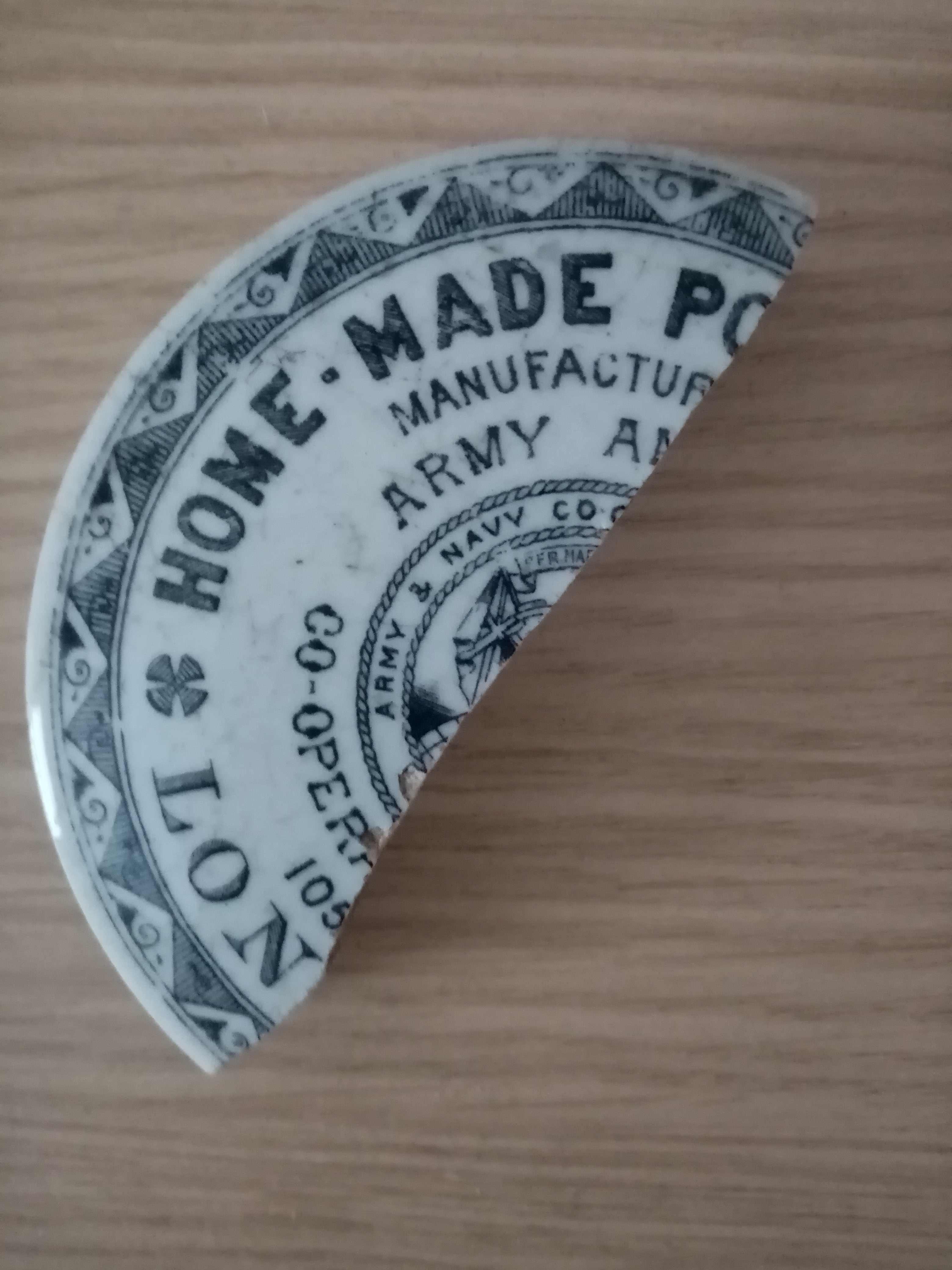
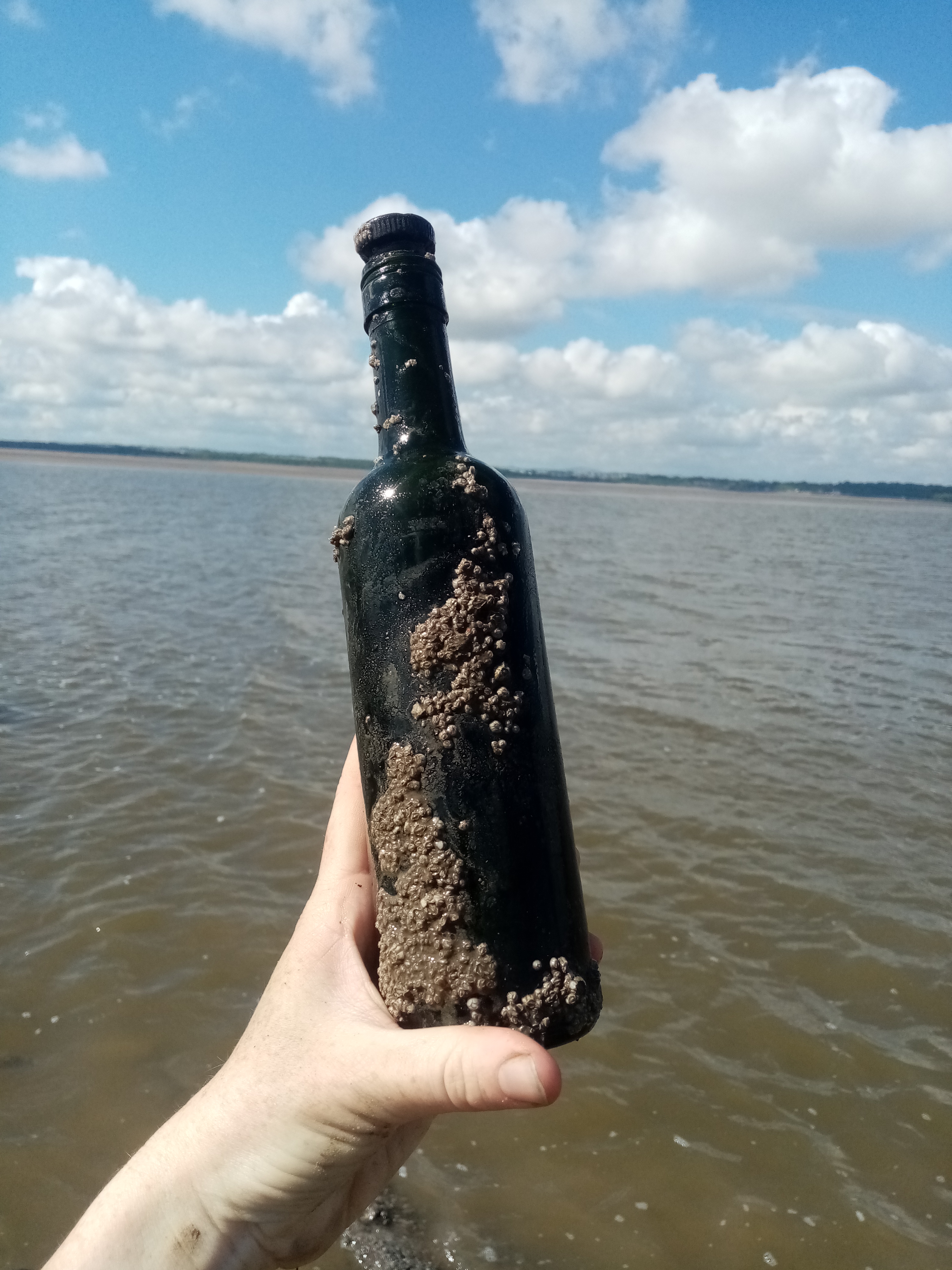
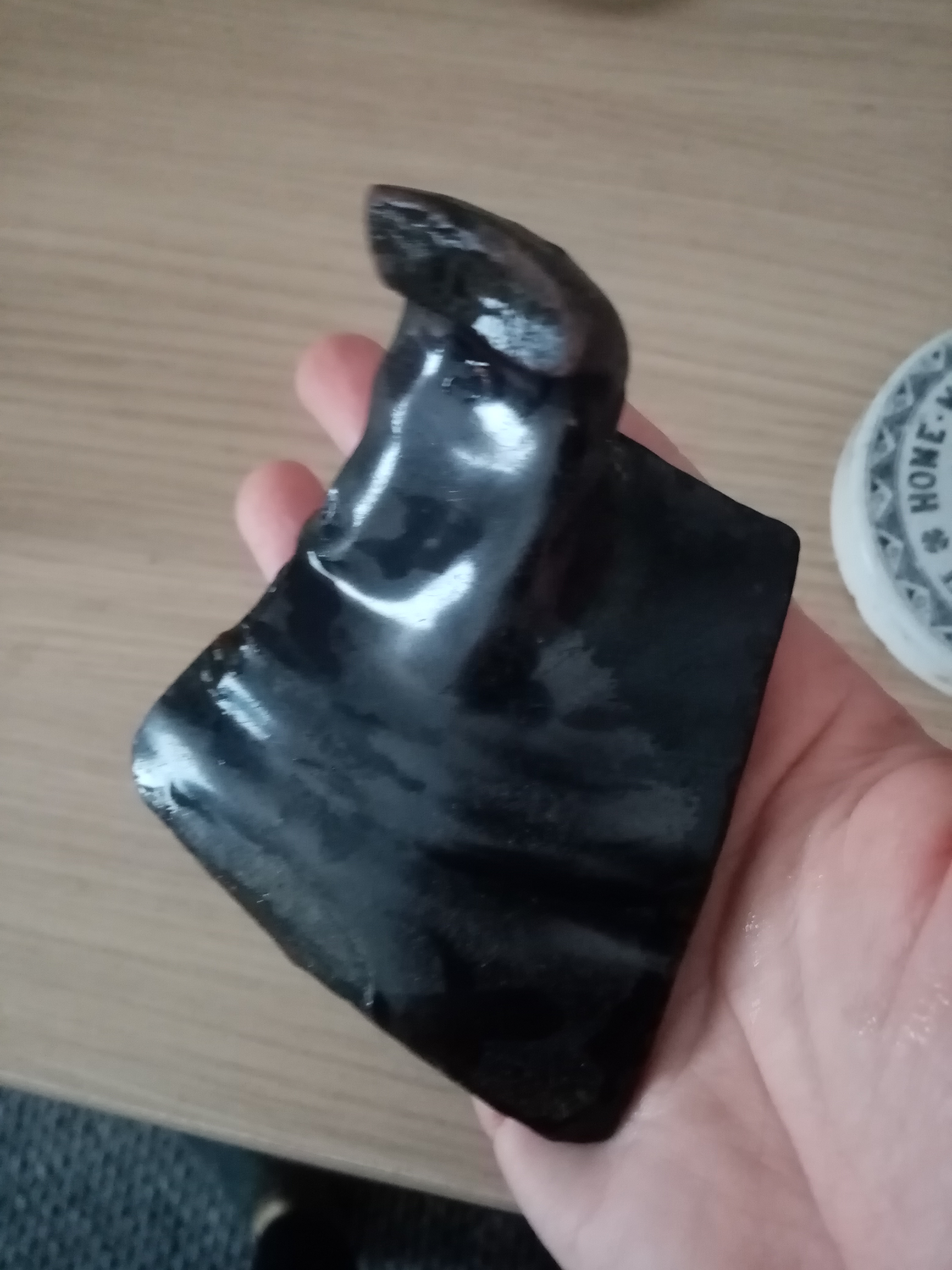
I couldn’t help myself to have a rummage through the rubble, intrigued by the large quantity of dumped materials and rubbish. Vulcanite stoppers, Bristol blue glass, Victorian rope edge tile, bricks, lots of broken terracotta plant pots, car or scooter carcass, rusty wheels, pottery sherds from 17th C. to modern times, some hooks, and even a cheesy hand-painted pebble, spanners, workmen tools and padlocks glass fragments from glassworks, most I left on site for others to find.

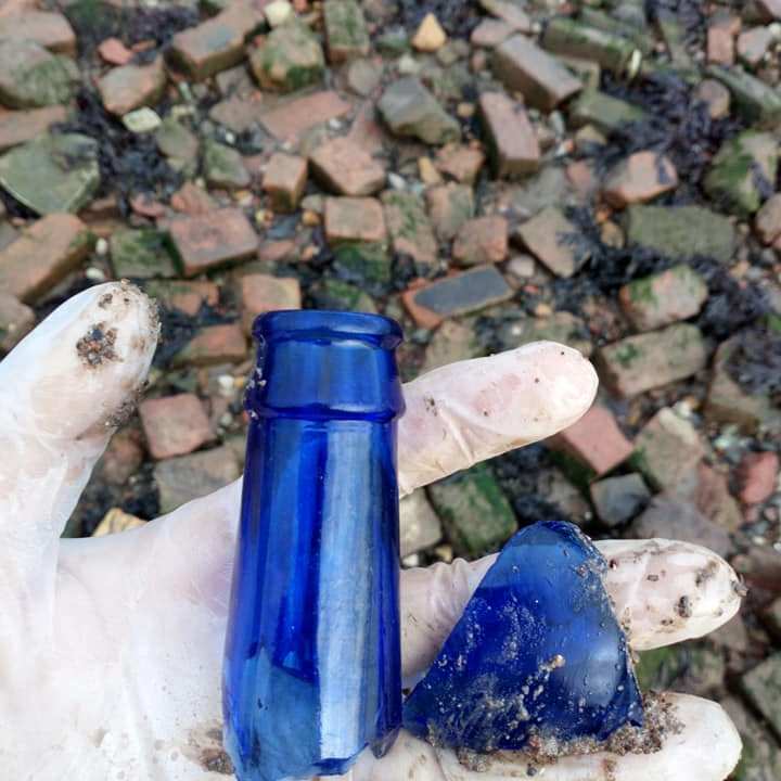

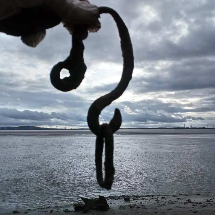
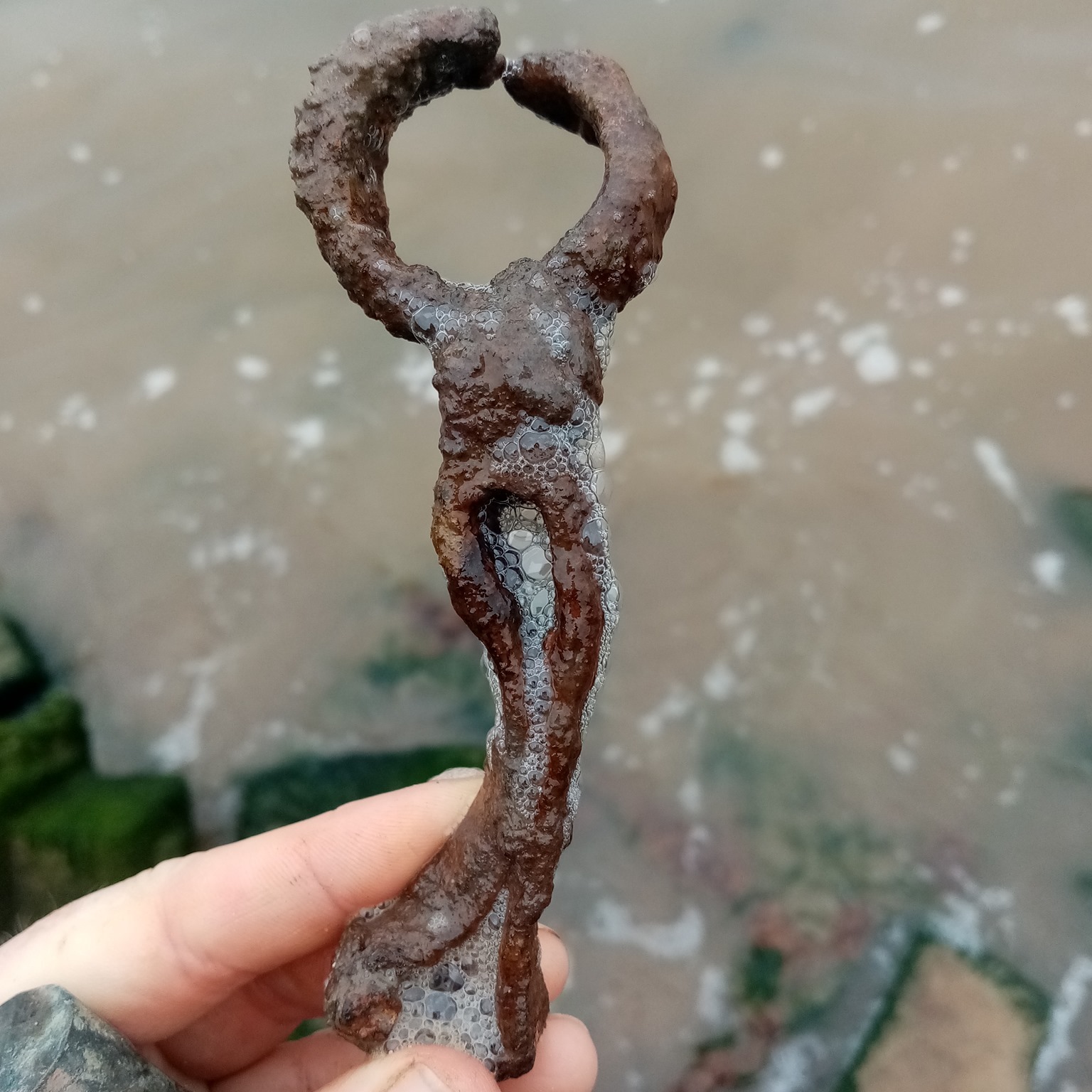
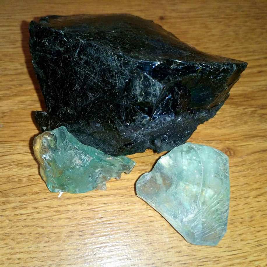


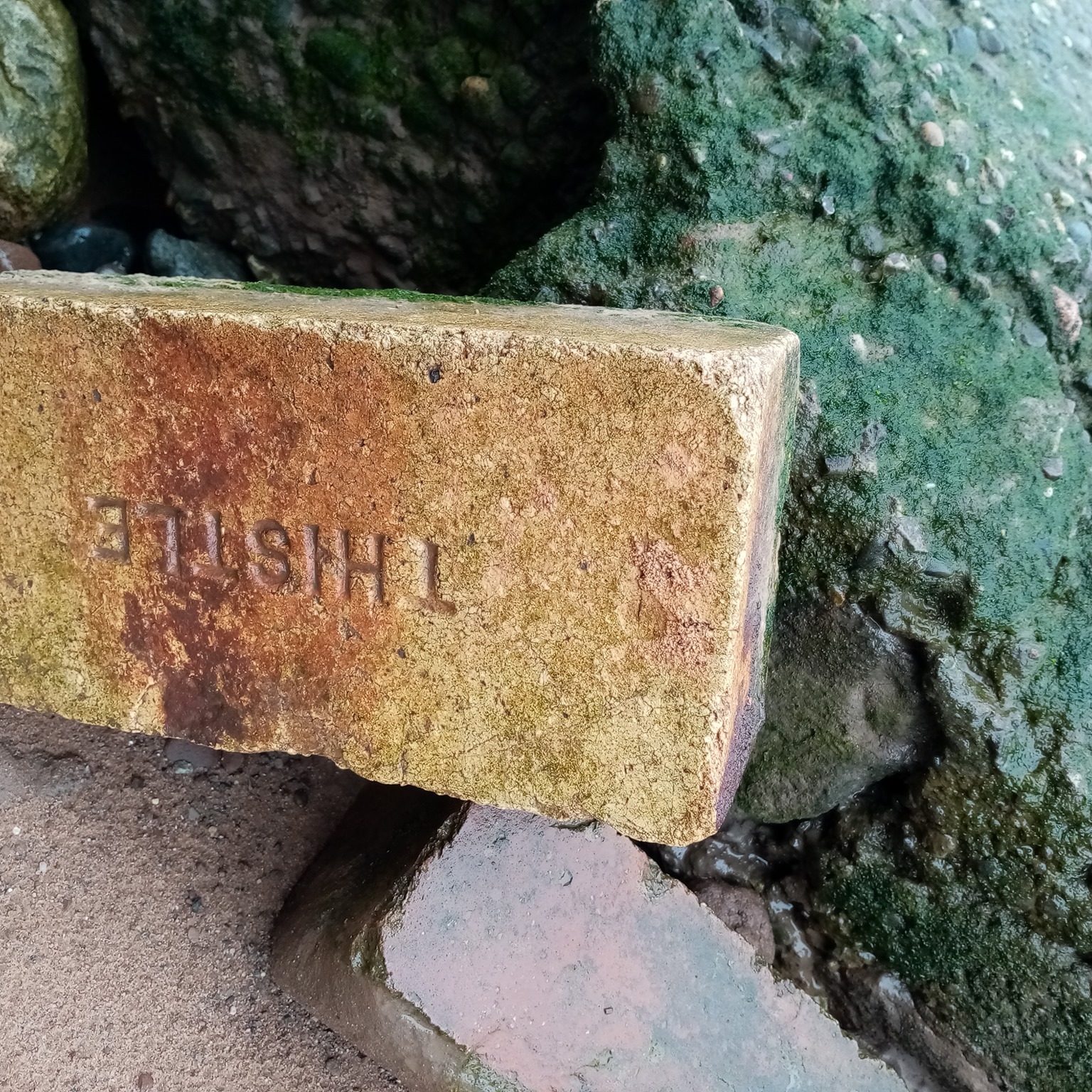
A variety of finds from the Mersey foreshore, as seen in 2018, left on site (except the big glass chunks from glassworks in the centre of the gallery, that I collect)
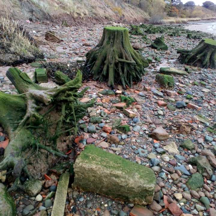
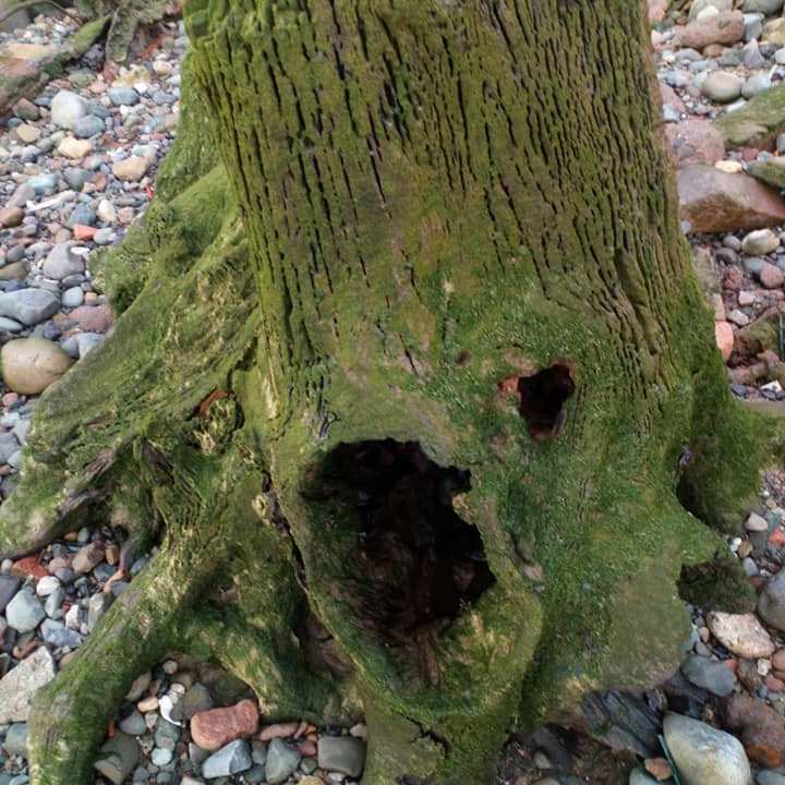
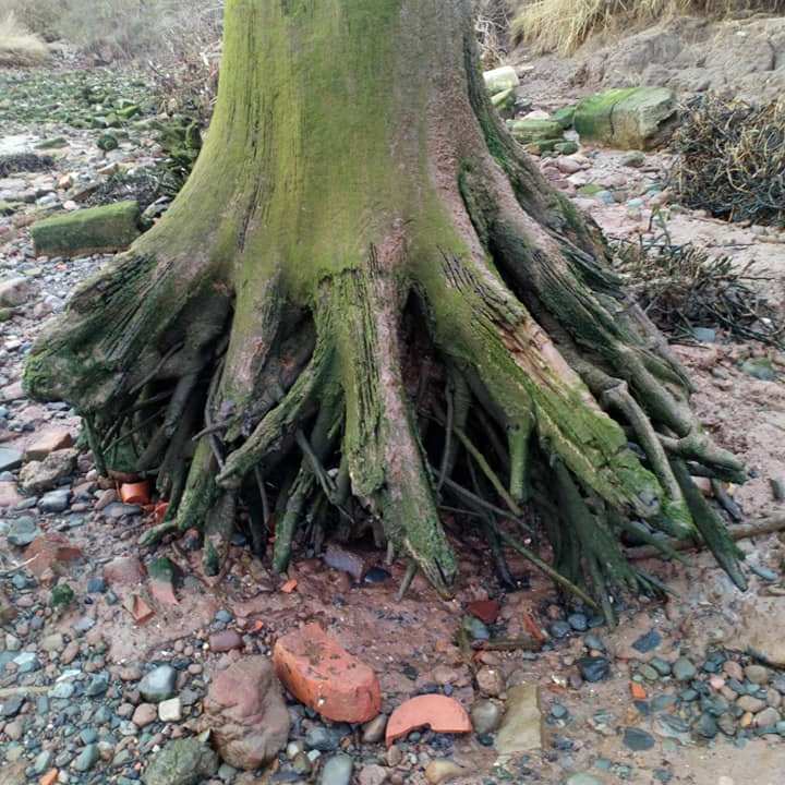
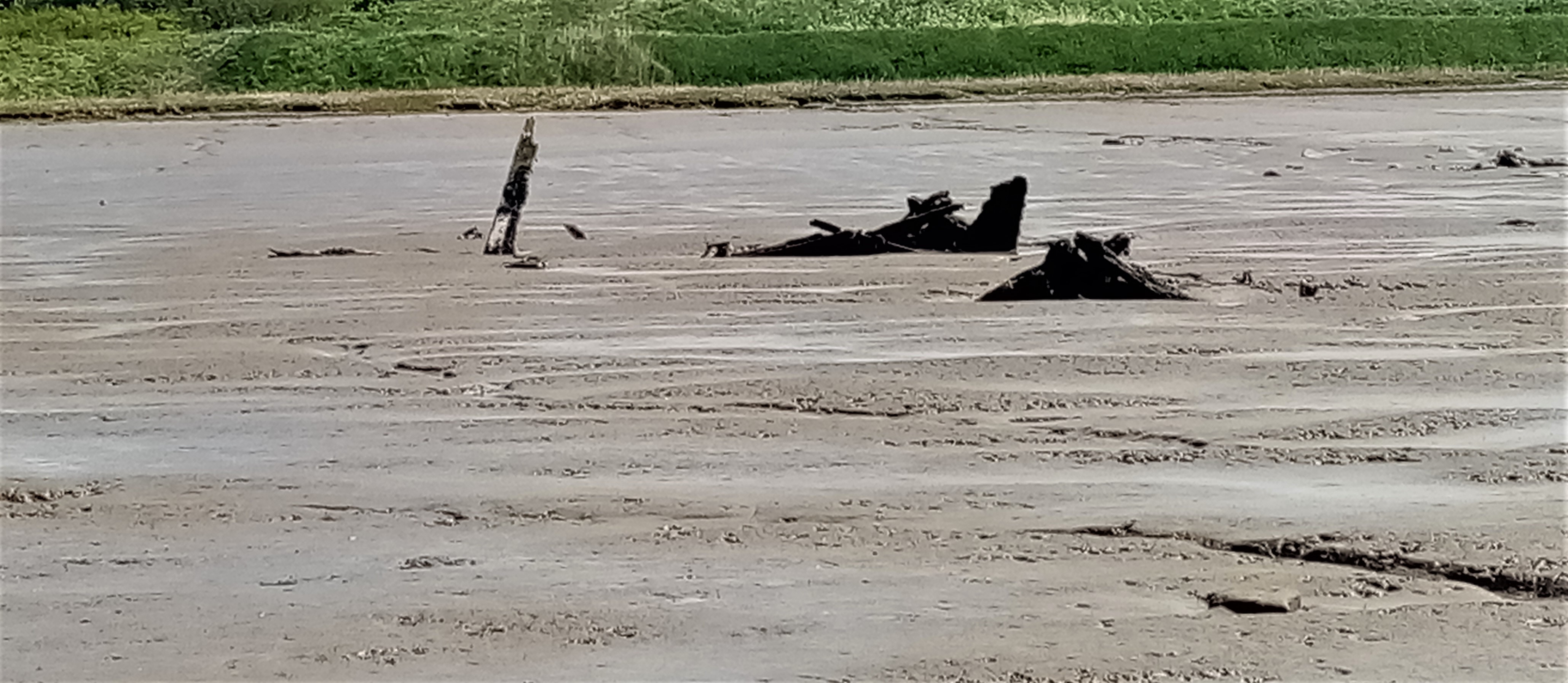
The last interesting sight, and quite a surreal one, are the tree trunks and roots scattered in the bay, giving the landscape a mysterious and surreal atmosphere. I am not too sure how it ended up there, I am guessing possibly dumped materials just like the rest rather than local, as the area would have been marshland originally.


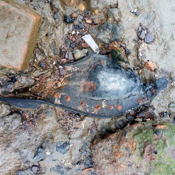
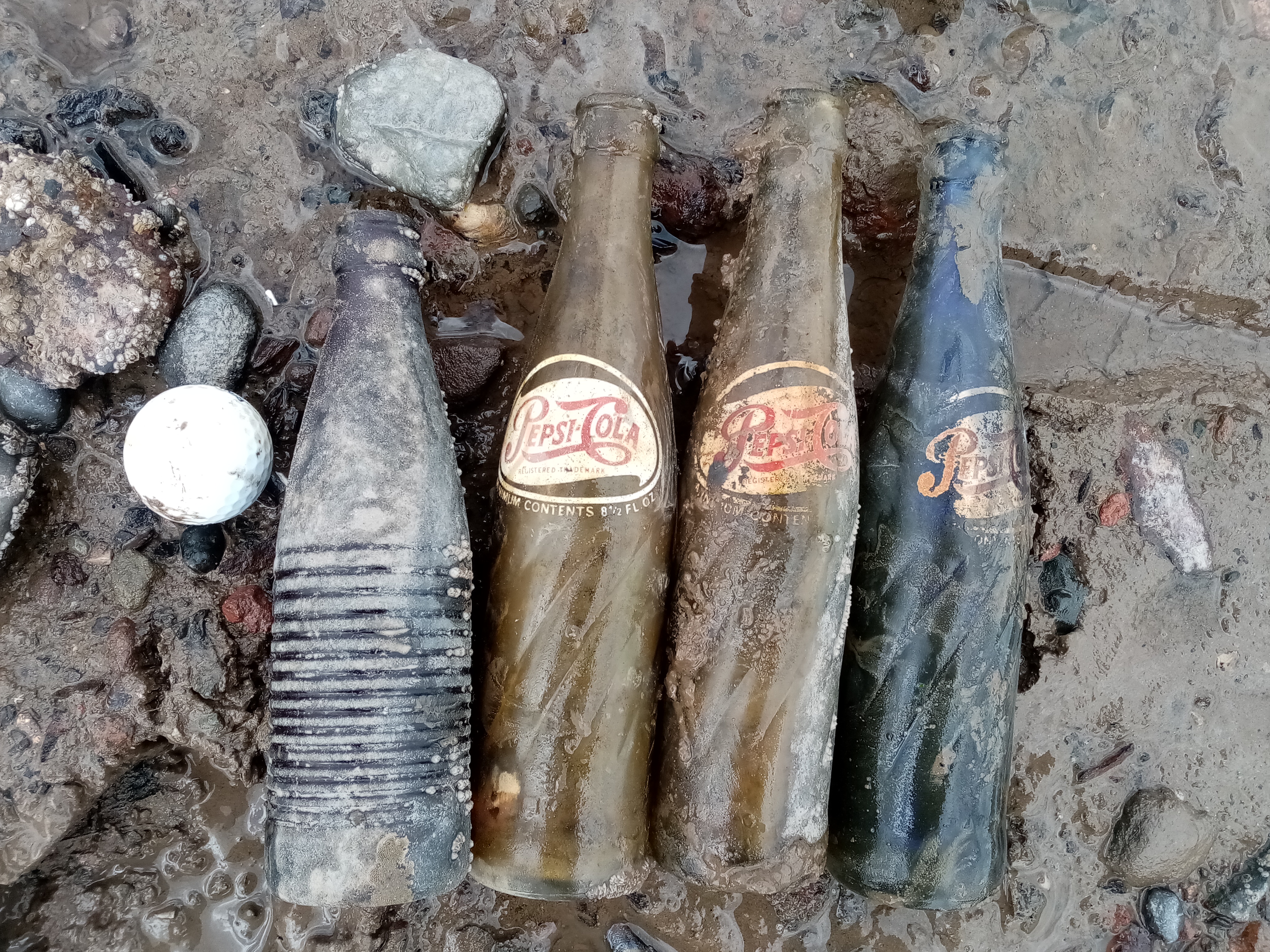
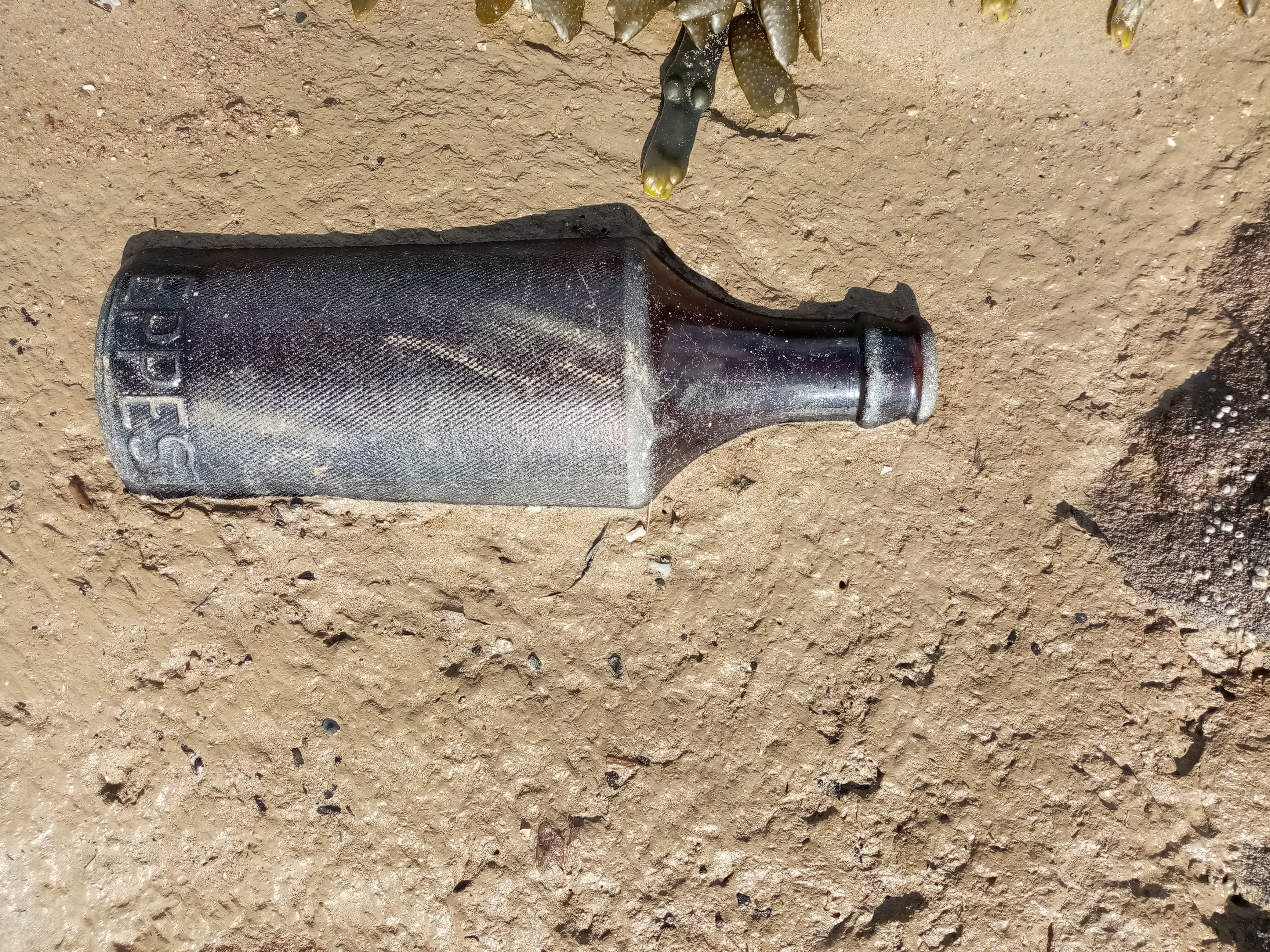
At the end of my walk, I went back to the shore near the sailing club, by the slipway, where I noticed the hovercraft on the sandbanks at low tide, & accidentally spotted by my feet a few familiar sights of pottery and glass fragments. It’s really fascinating to see the many faces and landscapes of the Mersey estuary, from Garston to Speke and Hale, always a good day out, and never without surprises.

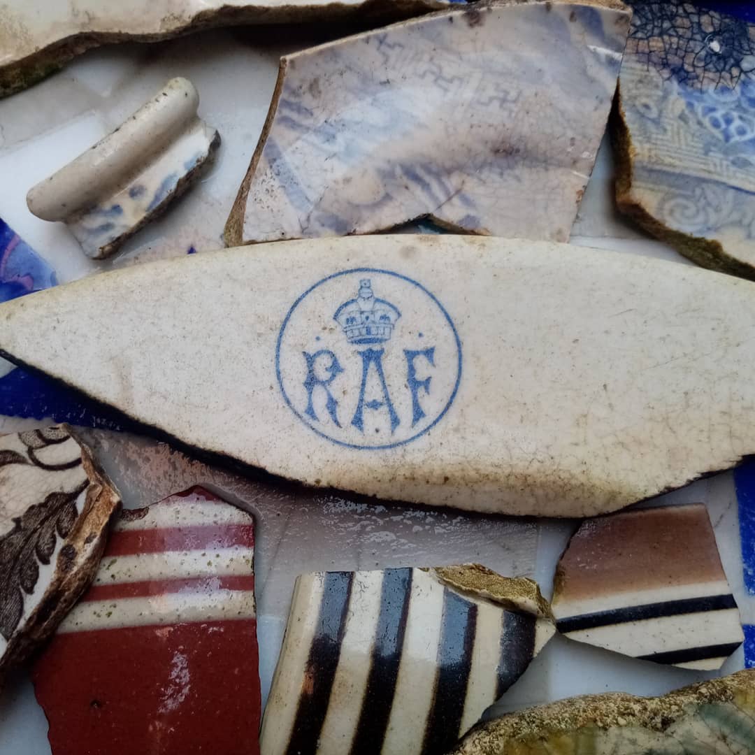
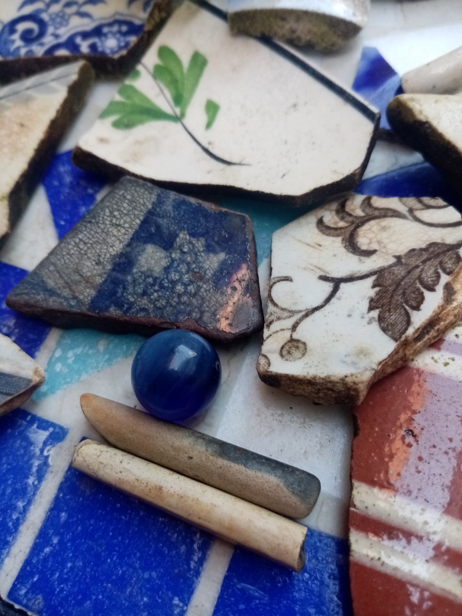
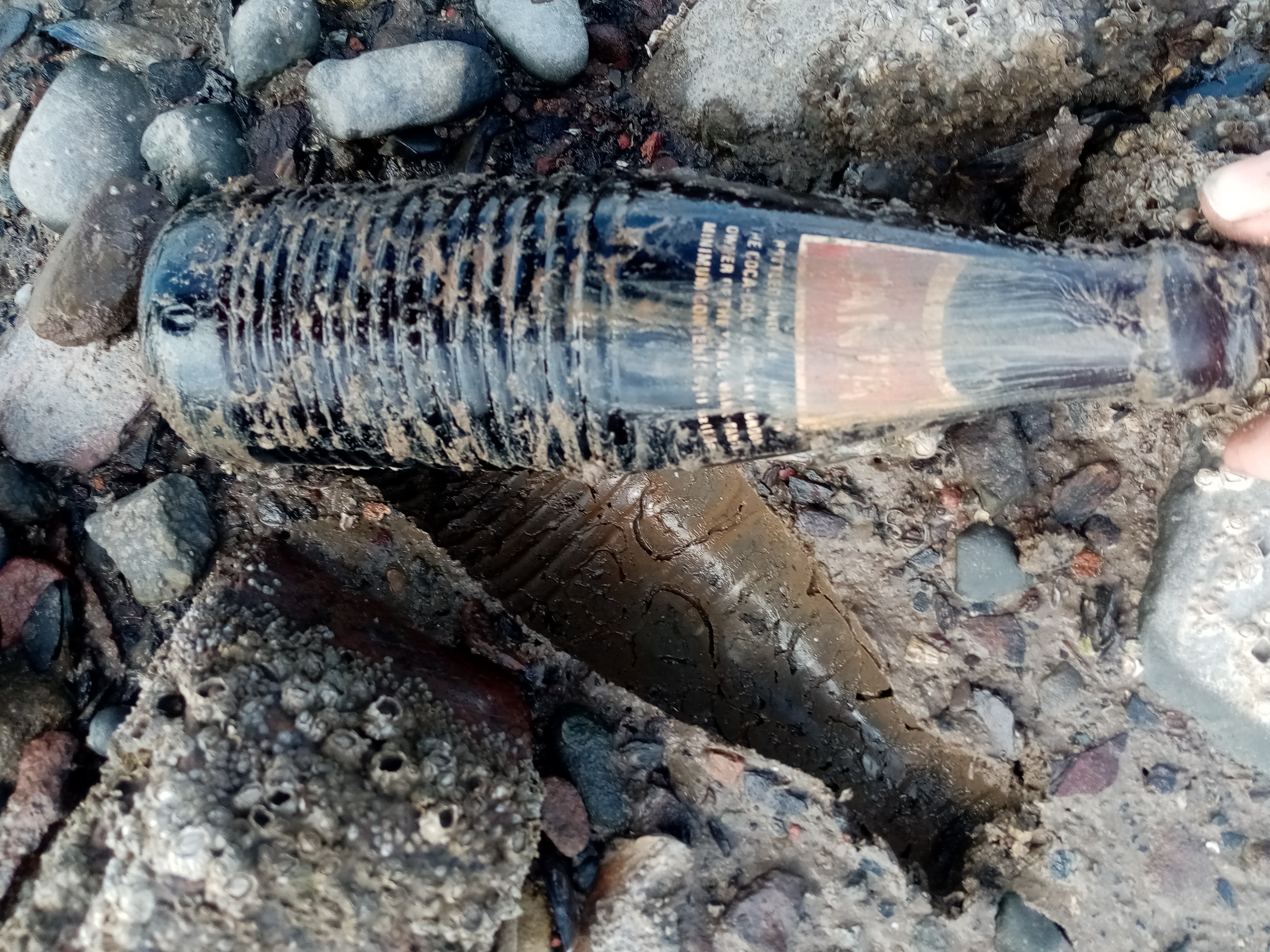
The sandbanks at low tide, with the hovercraft engines as spotted in November 2018, and some typical accidental finds found during my walk. I didn’t pick up the bottle & left it on site for others to enjoy. I gifted the victorian & early 20th century pottery fragments to my mother, who made some lovely flower pots and a mosaic coffee table
I returned to the Mersey shore on several occasions between the end of 2018 and September 2020, as it was my local patch of river, and I grew fond of her.

Exploring the unknown: the unrecorded fish trap discovery
Last year, as I explored Garston, Speke & Hale areas further, I made some interesting finds and unexpected discoveries. I had so many wonderful walks by the Mersey shore. One of the best days in my life, compensating for all the pandemic and lockdown sadness. I even went on pleasant evening walks after work, walking through the overgrown field paths near the airport between Oglet and Hale, to release the pressure of being trapped home.

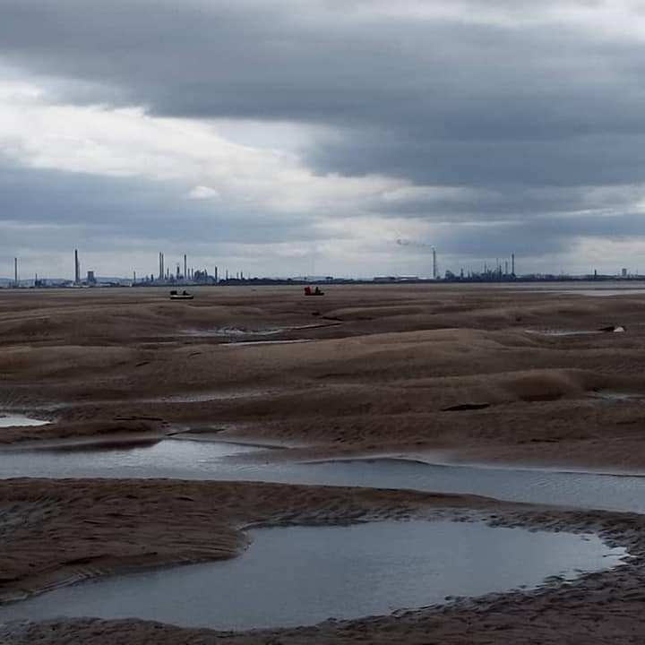
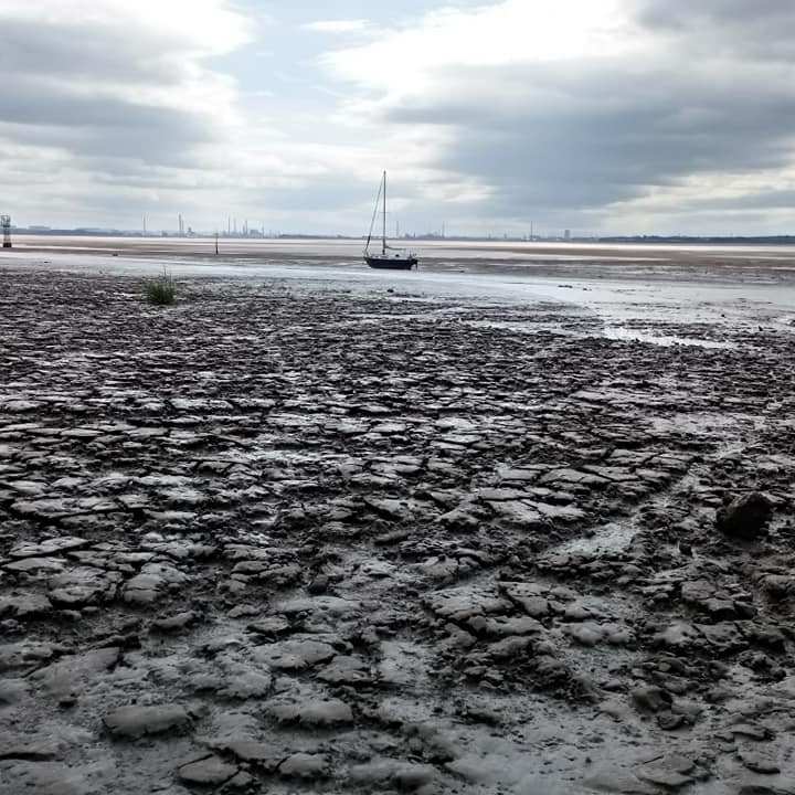
Last summer, on some exceptionally hot days and lower than usual tides, I managed to reach out to some areas normally inaccessible or under water. The weather had dried out the deep mud deposited over the sandbanks and made it possible to walk safely extremely far.


What I did last summer is not something I would promote or encourage as a standard family outing or exploration, as the Mersey remains an extremely dangerous environment. But with years of experience of extreme mud & archaeology on the Thames, some common sense and good health & safety knowledge of intertidal & coastal environments, while acknowledging the risks, I achieved what I first thought impossible.


In recent years, I must confess that I’ve somehow found it difficult emotionally to deal with the growing interest generated by the medias and the large crowds visiting the Thames foreshore. This is purely because I have always enjoyed my solitary walks, being alone with the elements, like an urban explorer, daydreaming, connecting with the river on an almost spiritual level. Going to the foreshore was an oasis of calm and serenity, a place to reflect, far from the madness of the city, something that I can’t quite always relive nowadays. With the Mersey estuary, there was plenty of contemplation and solitude, some intense and sublime moments and a bond with the river I couldn’t quite explain, I was back to the roots of what I love the most in life, by the river.

In July 2020, during an evening walk at low tide on the shore somewhere between Oglet & Hale, I spotted some probable ship timbers showing just above water level, possibly from a vessel wreck. Impossible to date and sadly not accessible, but it was my first discovery to be reported to the coastal archaeologists at CItizan, so they could add the feature to their interactive map.


In August 2020, I managed to reach a spot at low tide on the Mersey where no one had probably been for a few decades (based on local rubbish found), places where people don’t venture. My efforts paid off, I found a significant amount of Victorian pottery and glass fragments, followed by a few ship timbers. Keeping an eye on the tide, which was far out, I carried on further, distracted by so many new and exciting discoveries. And then the unexpected happened. I spotted rows of vertical timber posts emerging from the sandbanks at equal distance, recognising straight away that it was the remains of a fish trap, an amazing archaeological find and could possibly date back to medieval times. It was amazingly well preserved, and on a big scale. Nearby a more modern timber from a ship or boat was resting. This was a discovery of a lifetime, the kind any archaeologist could dream of, but not necessarily see it happen. It was truly amazing, I was emotionally moved, I could not believe my eyes.

I took the coordinates on my phone and reported it immediately to the local archaeologist at Citizan, who confirmed it was a significant unrecorded feature and no fish traps were known in the area. Hopefully when the pandemic ends and archaeology activities return to normal, it can be thoroughly investigated and monitored for future generations to enjoy.
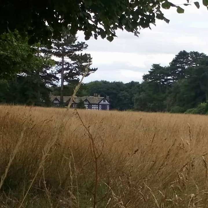
Not so far from there stands Speke Hall, a Tudor mansion with stunning gardens. Local maps don’t show evidence of fish traps in the area, but as suggested by the local archaeologist, there were some large monasteries nearby which could have operated big fish traps.

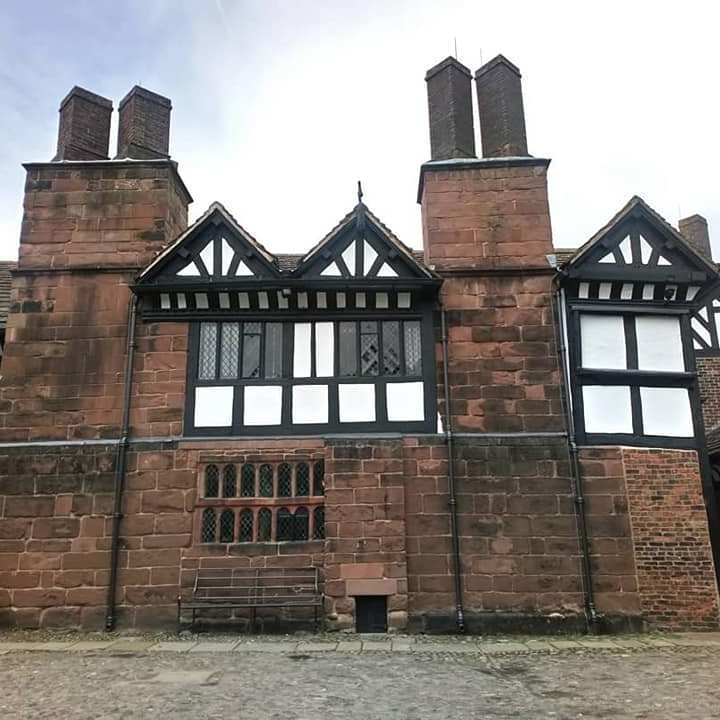

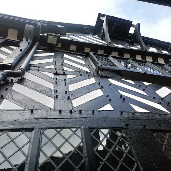


Speke Hall was built around 1530 by Dr William Norris, as a family home, completed by his son Edward by 1598. There was a medieval beamed hall on the site where it now stands, dating back to the early 14th century.
I am keeping the exact location of the fish trap secret and undisclosed, until it is reviewed by archaeologists. To be fair, it is not easily accessible, with additional dangers of the moving soft sandbanks and incoming tide that can turn quickly, not the traditional and safe Sunday walk. I will however provide an update or links if available during 2021.
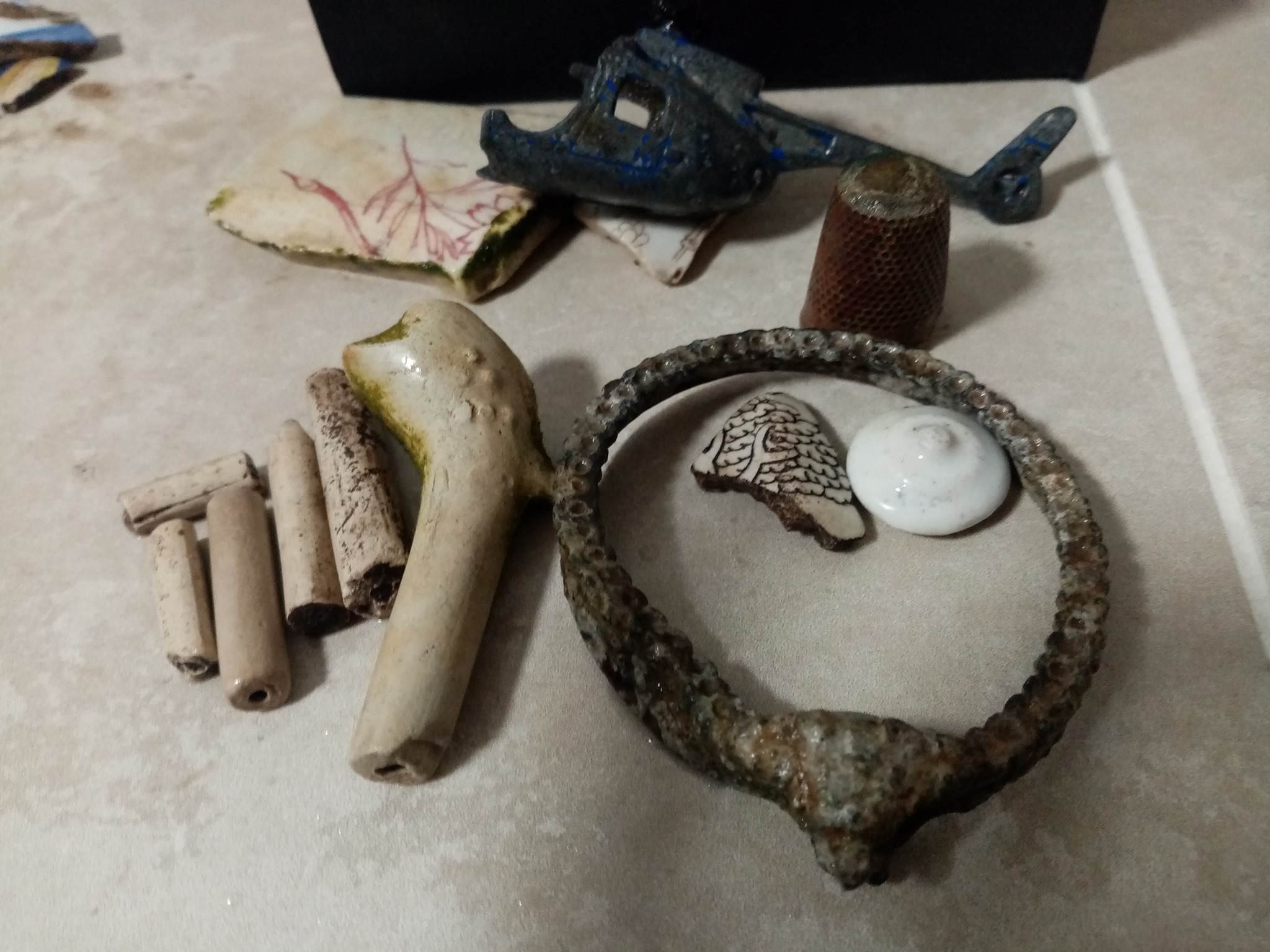
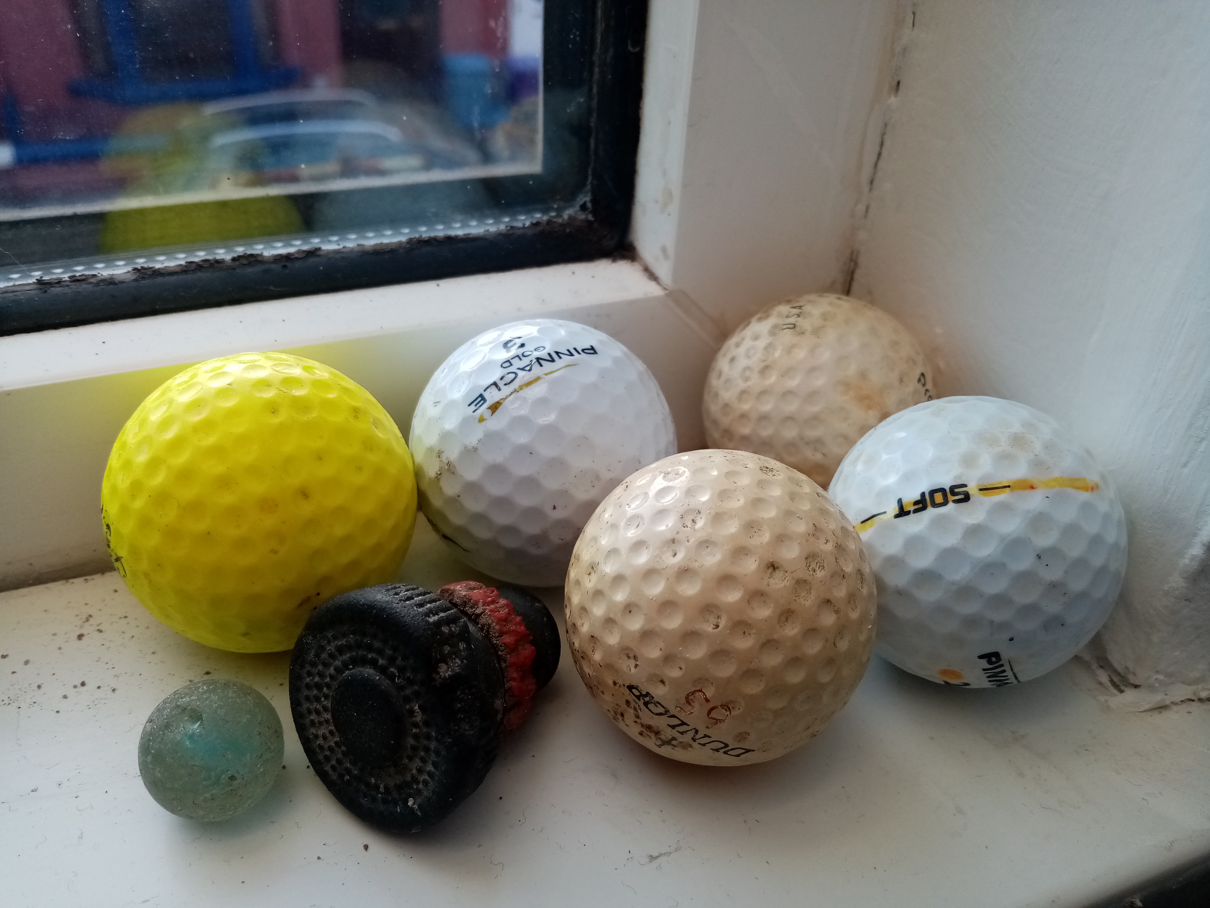
I will leave you with a gallery of random finds spotted on the foreshore or collected over the years. I will hopefully share a few more of my walks in Merseyside, Lancashire & North Wales shortly, and I hope it somehow finds an audience.


*** All photographs and content written by Lucie Commans, please do not copy and reuse without permission or without quoting the author & blog source, thank you ***
